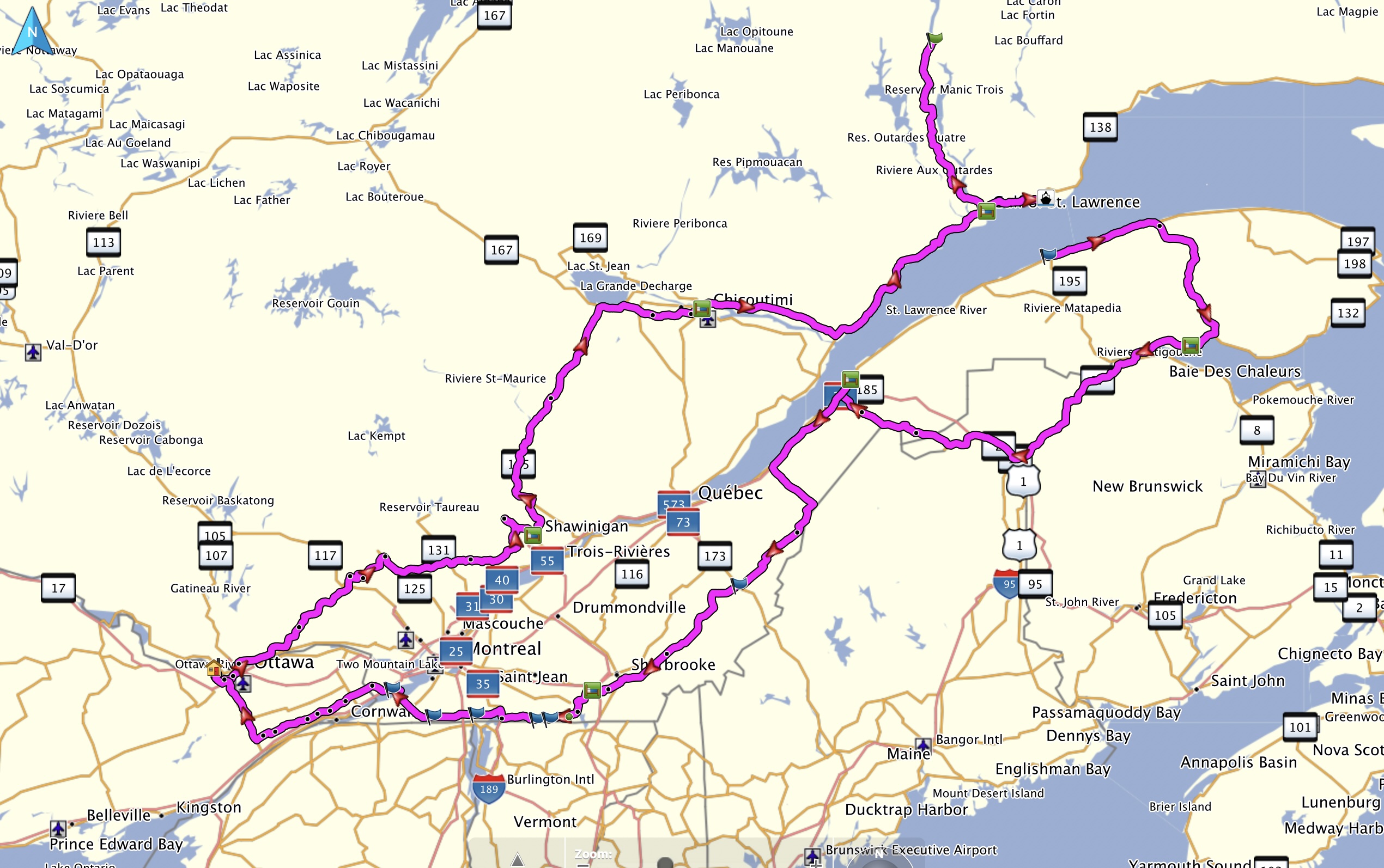
This is my Quebec moto trip on Jun 8 to Jun 16, 2026 to the Saguenay area, Baie-Comeau, Manic-5, Gaspe and Eastern Township
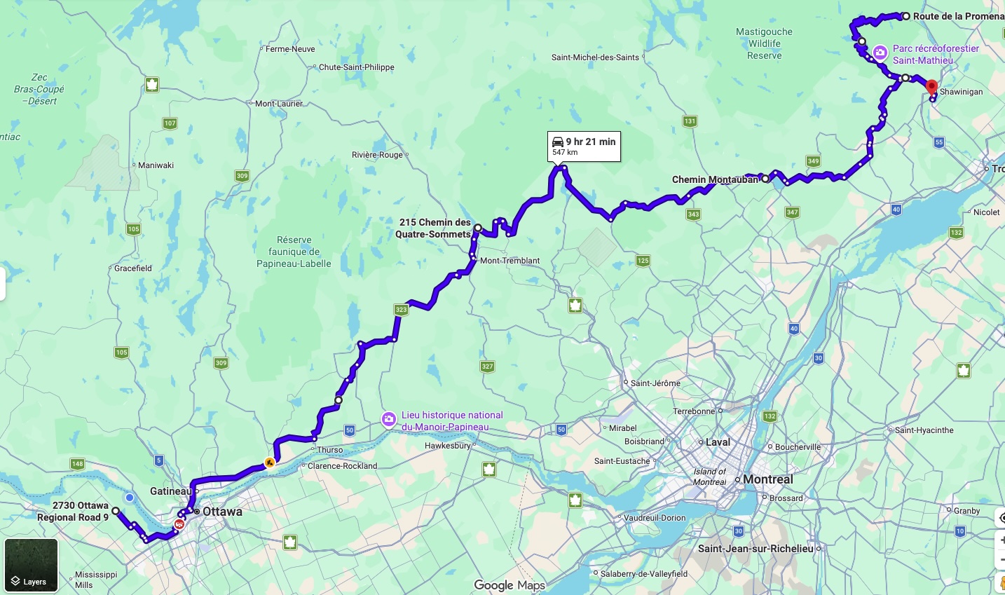
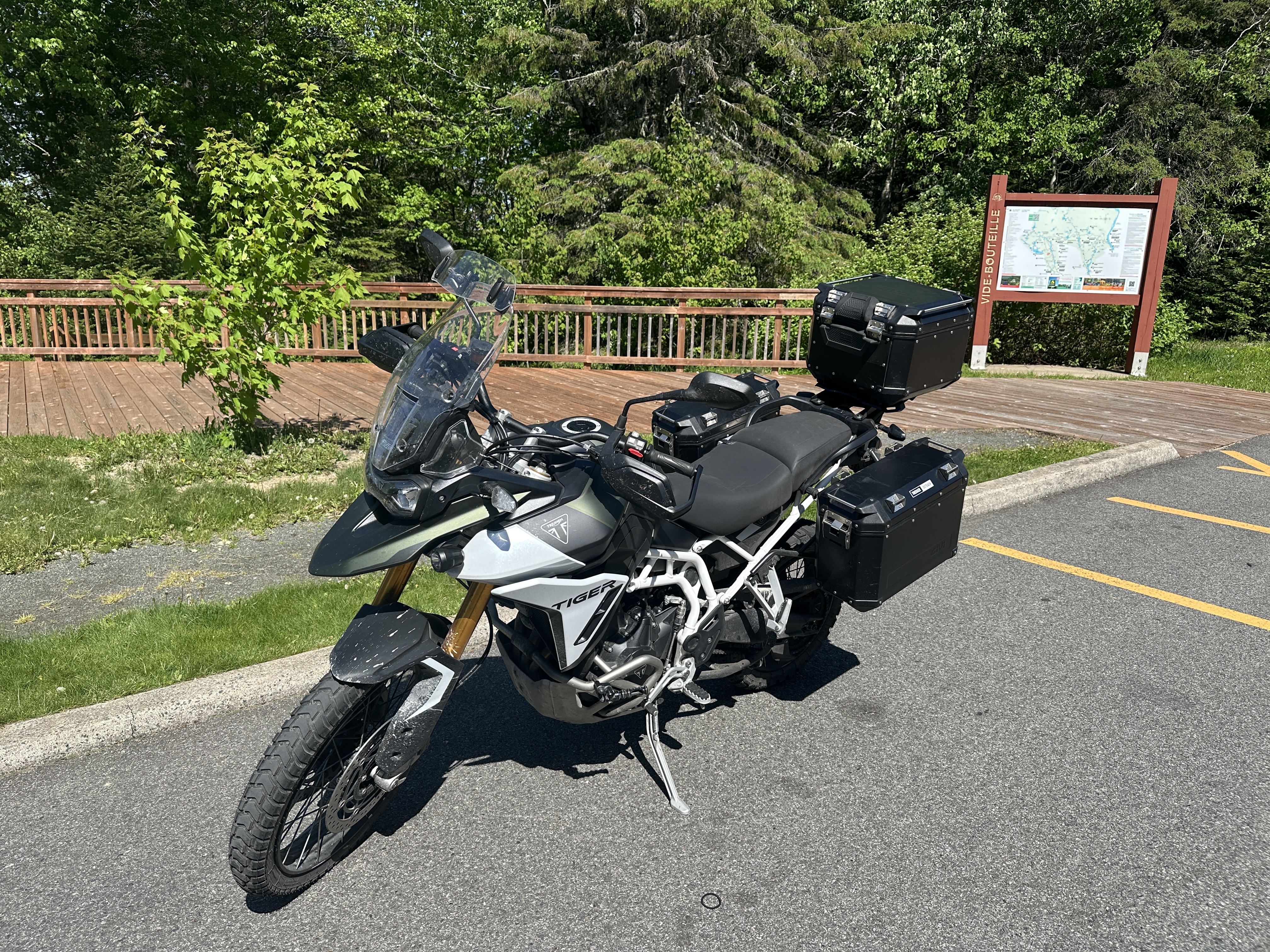
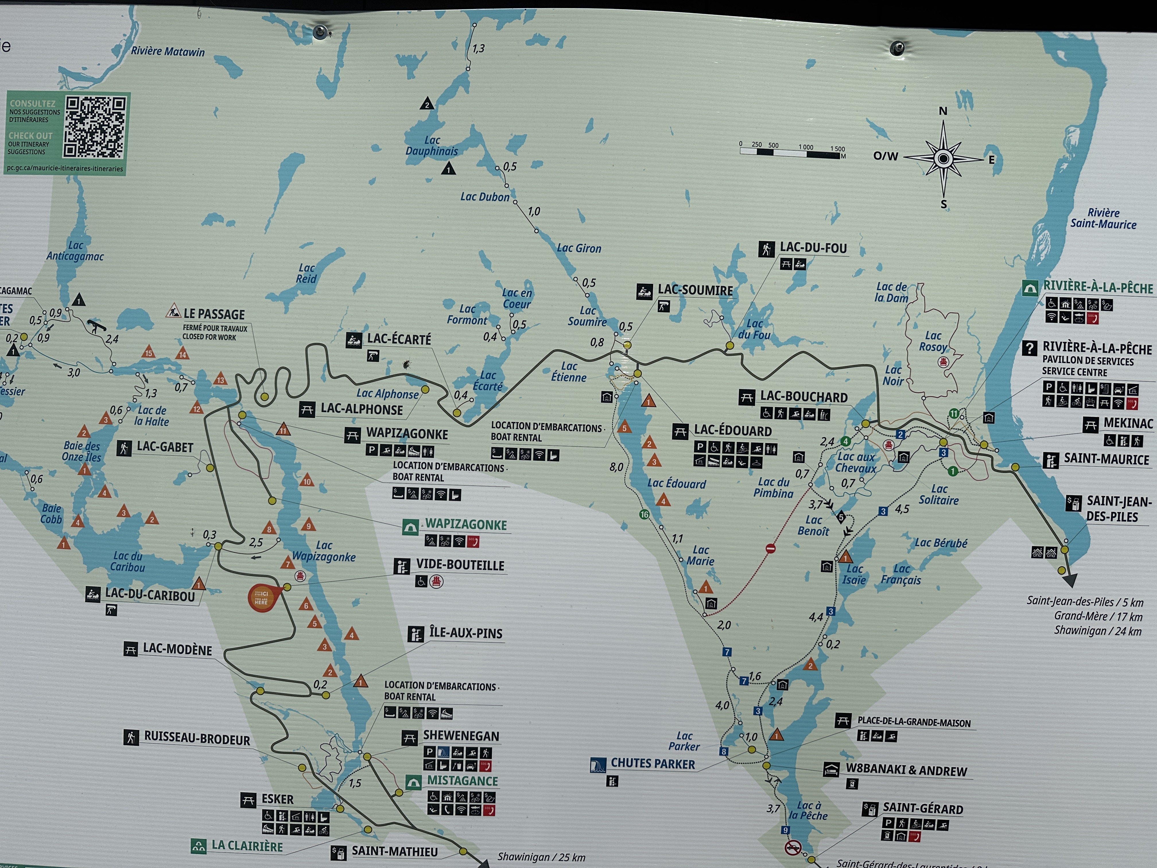
Day 1 route from home to Shawinigan via Mont Tremblant, Chemin du Nordet to Saint Donat, 125 to 347 (St-Come), 348, 350, 351 to Parc National de la Maurice (both directions), Shawinigan
Weather: high 30C but low humidity, Sunny.
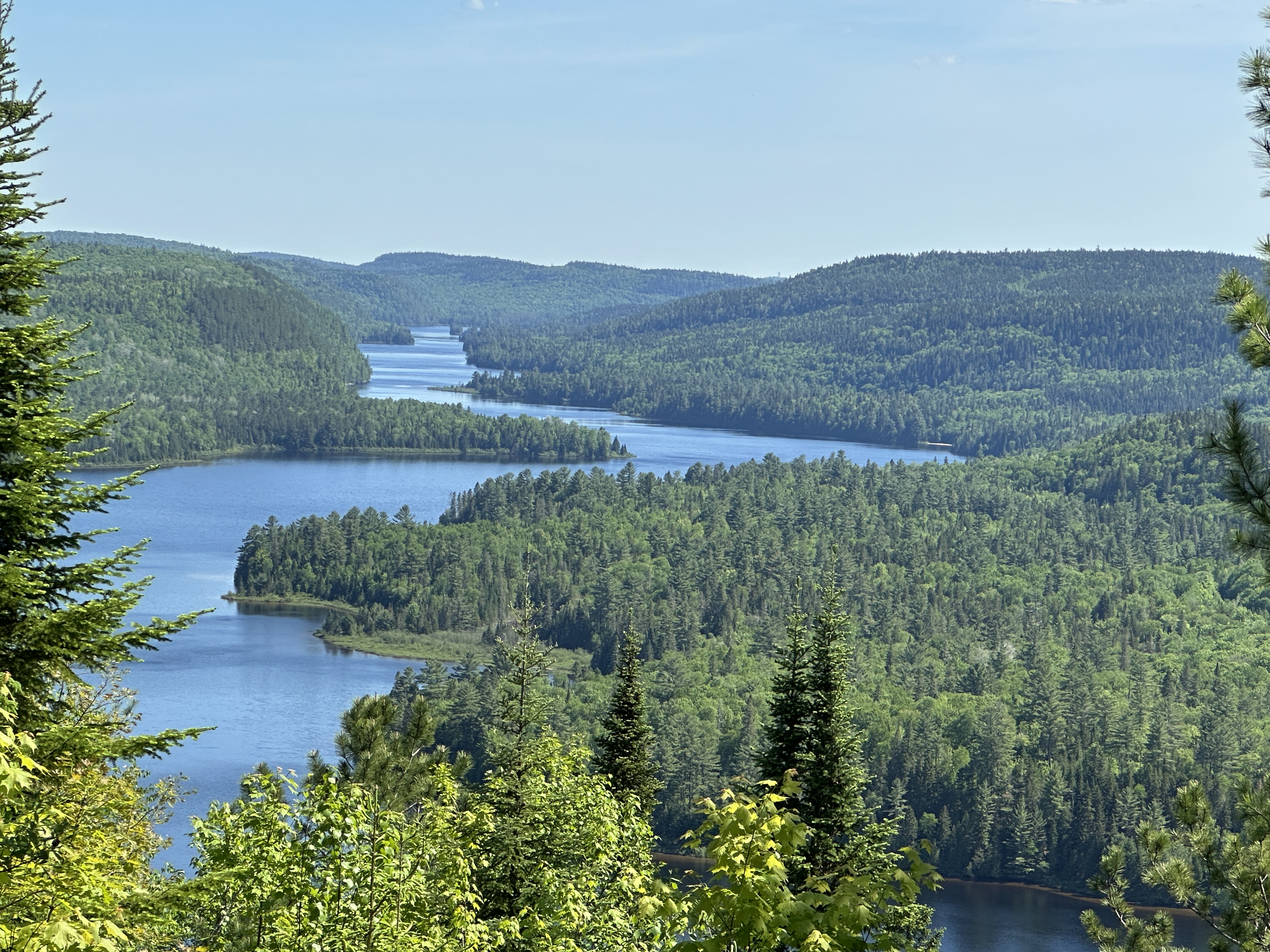
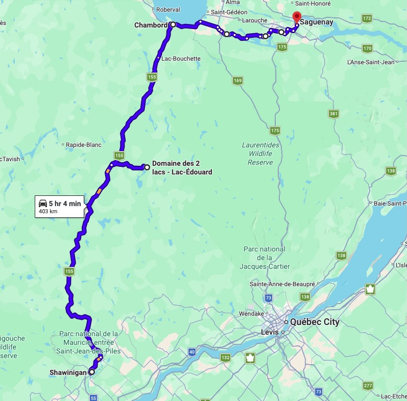
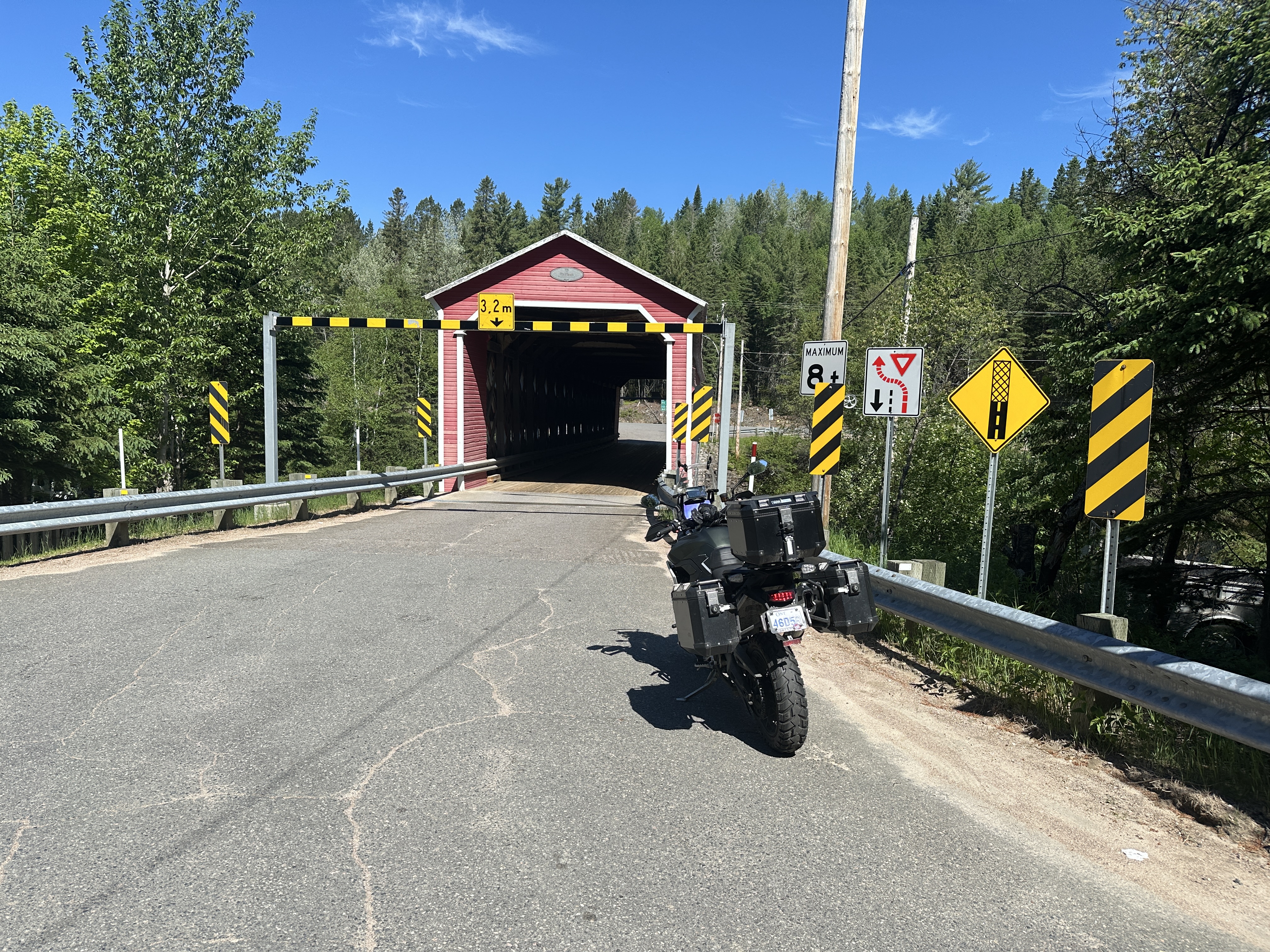
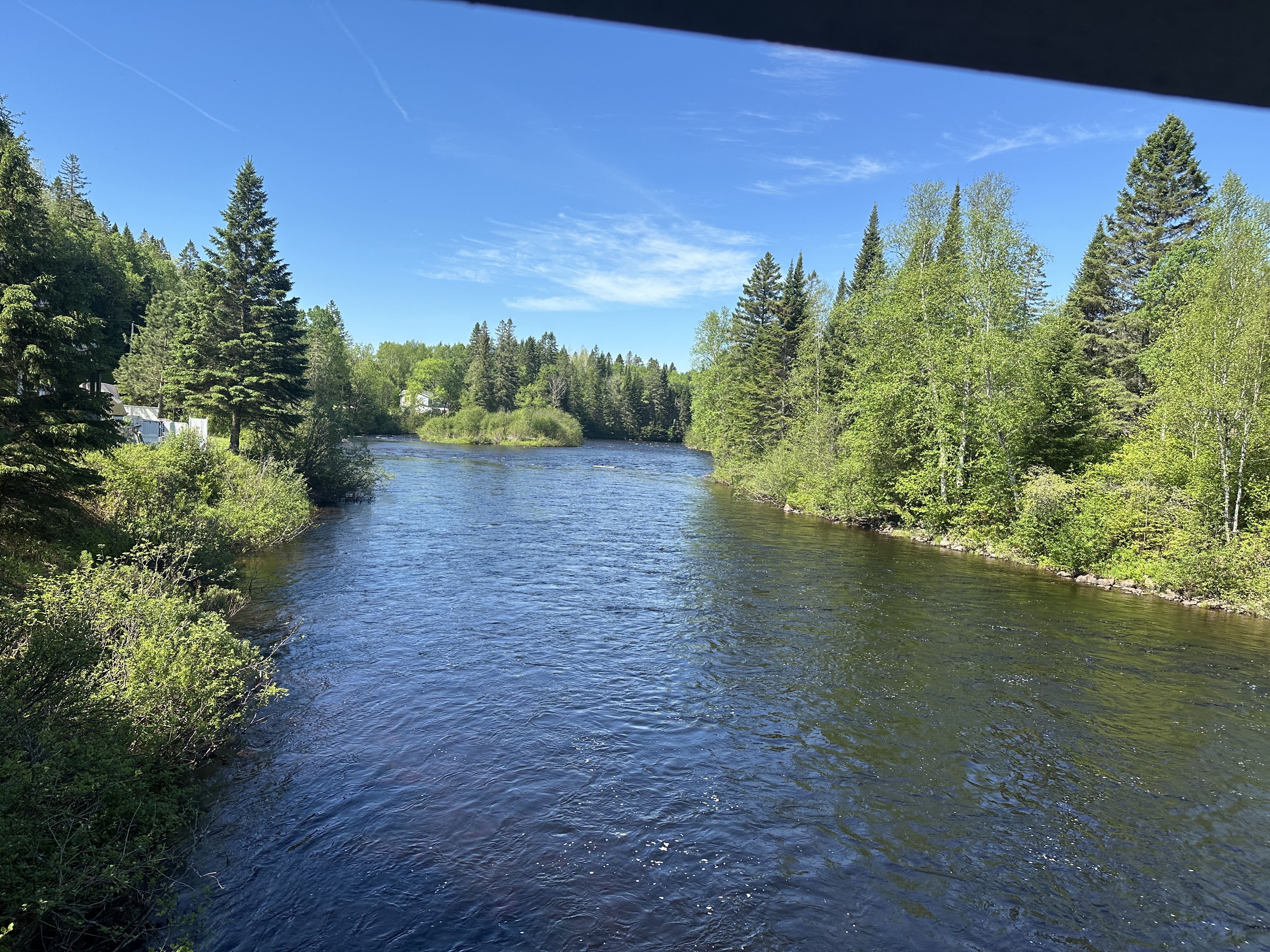
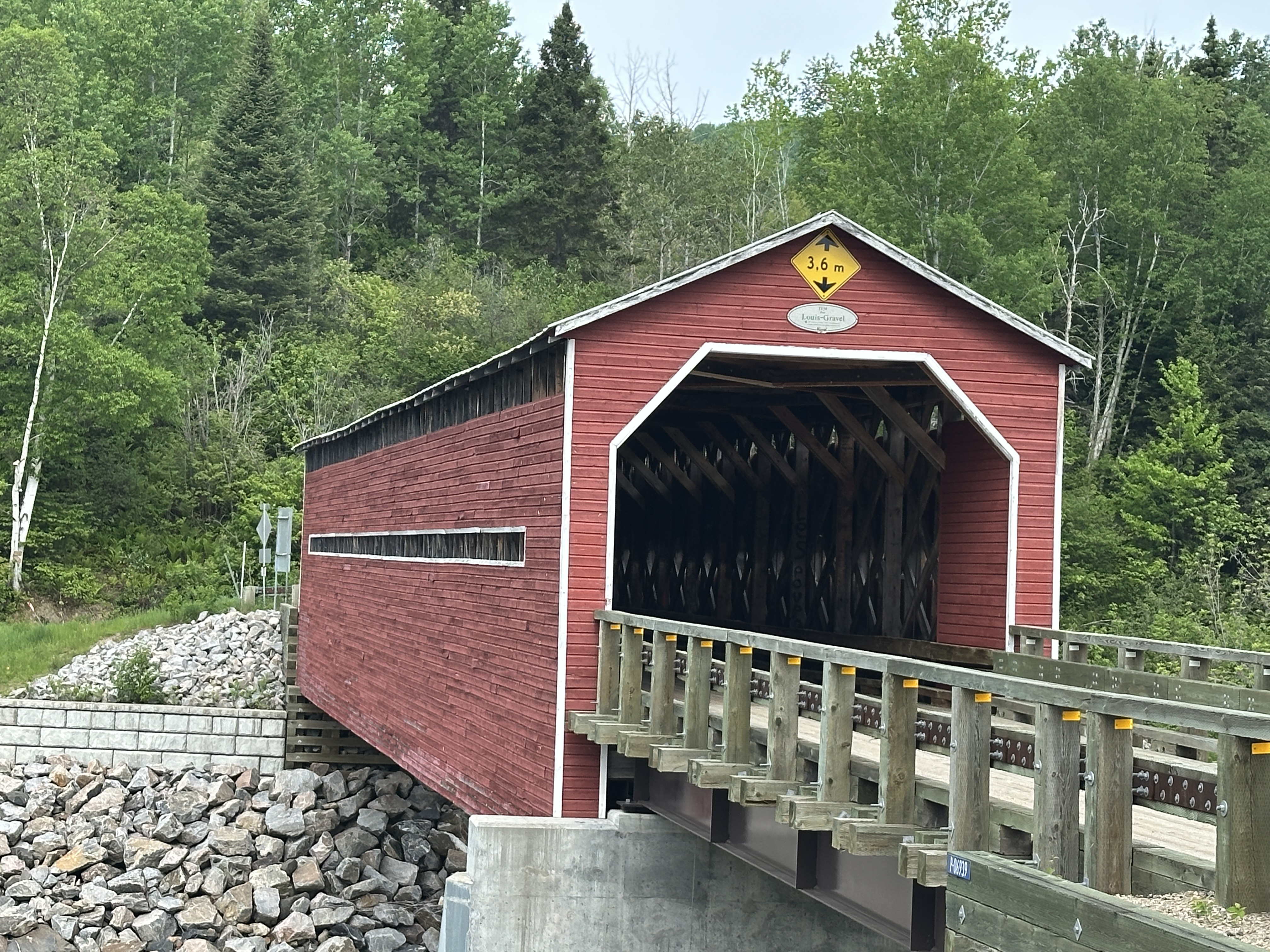
Day 2 route from Shawinigan to Saquenay via 155. Found an interesting road riding along on the 155, Chemin Lac-Edouard with lots of curves and elevation changes. Found a covered bridge along the way. The route south of Saguenay from the 155 following along Lac Kenogami was really nice. Small farms, a ski hill and nice scenery.
Weather: high 30C with low humidity, Sunny
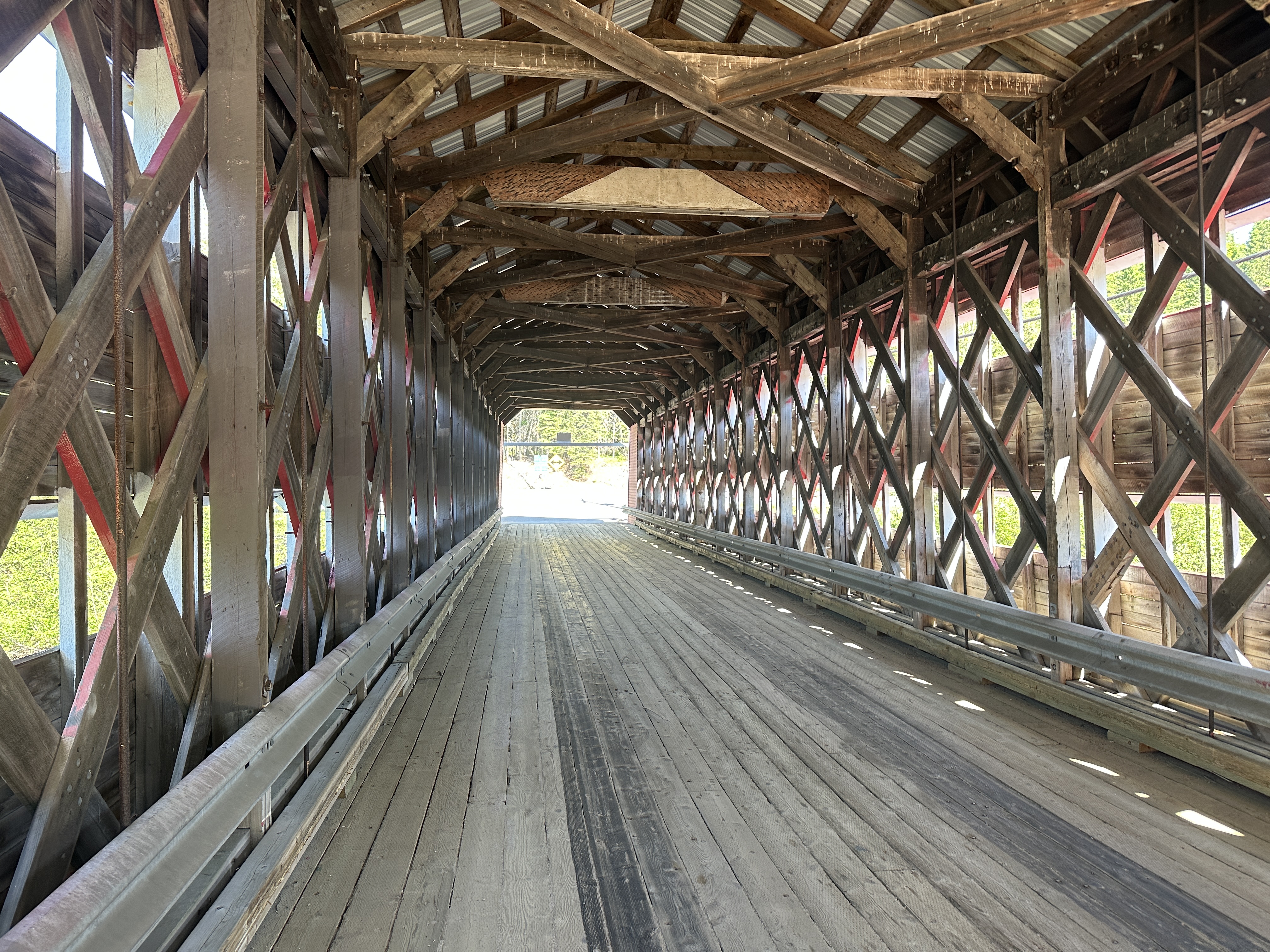
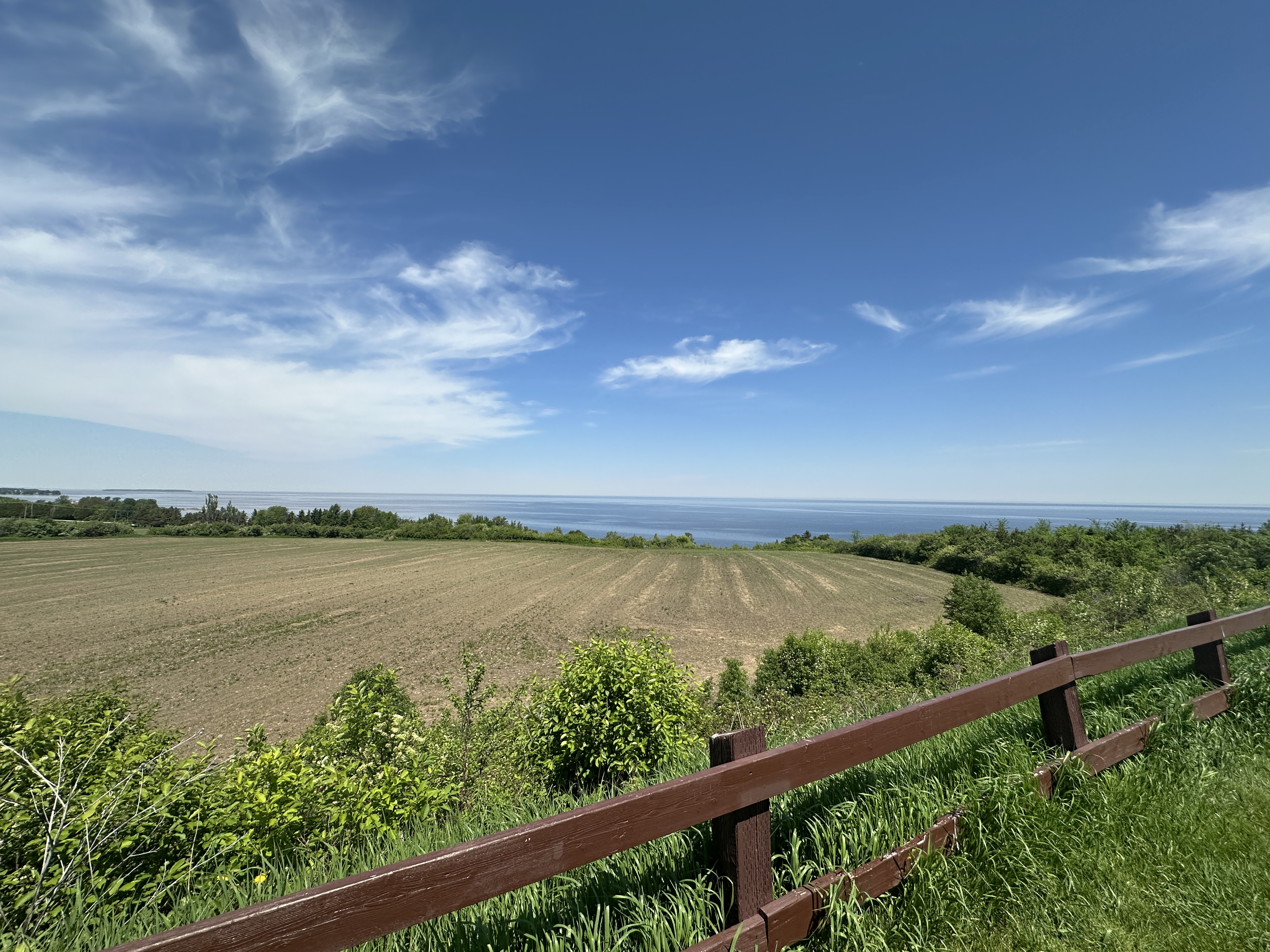
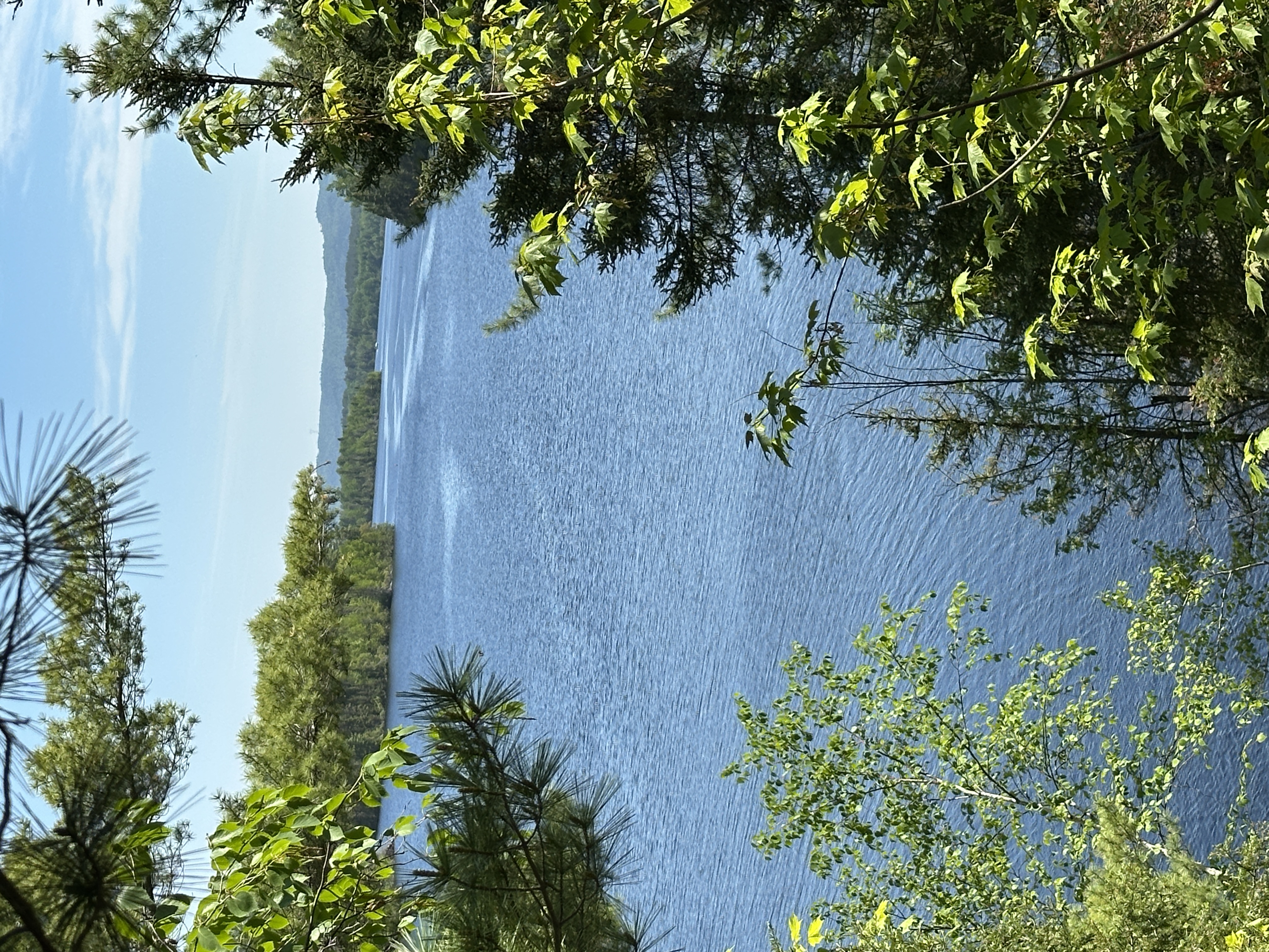
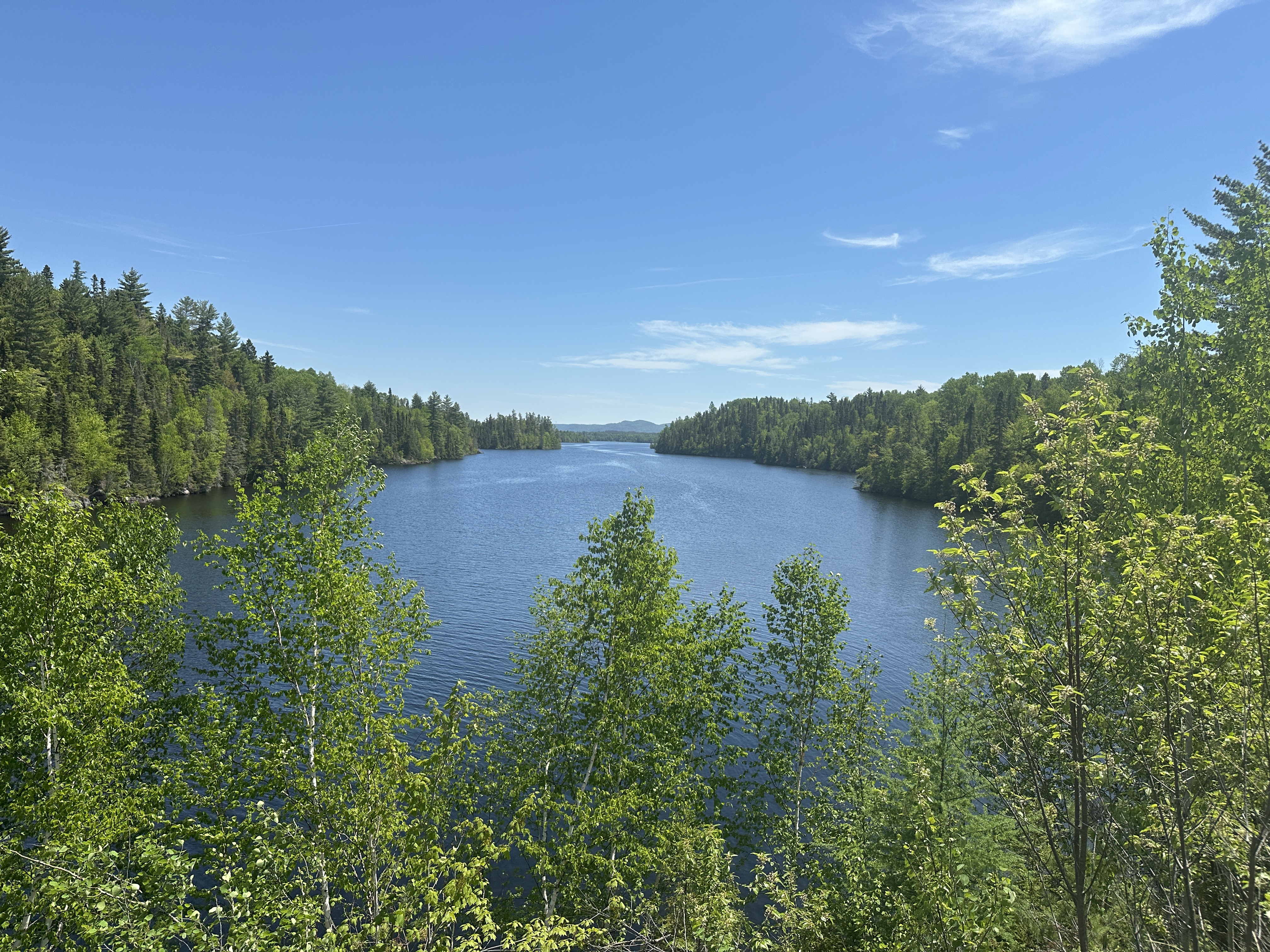
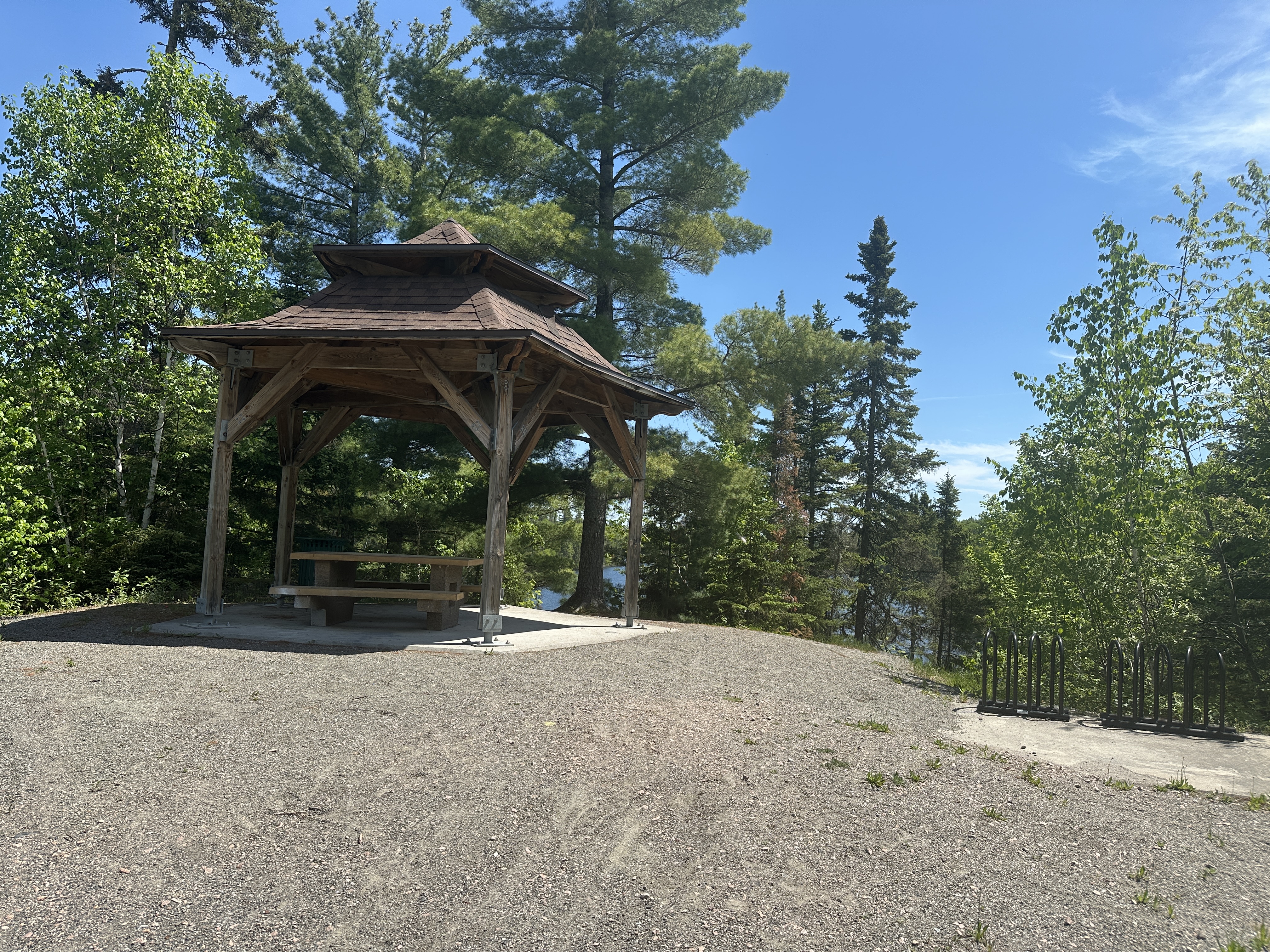
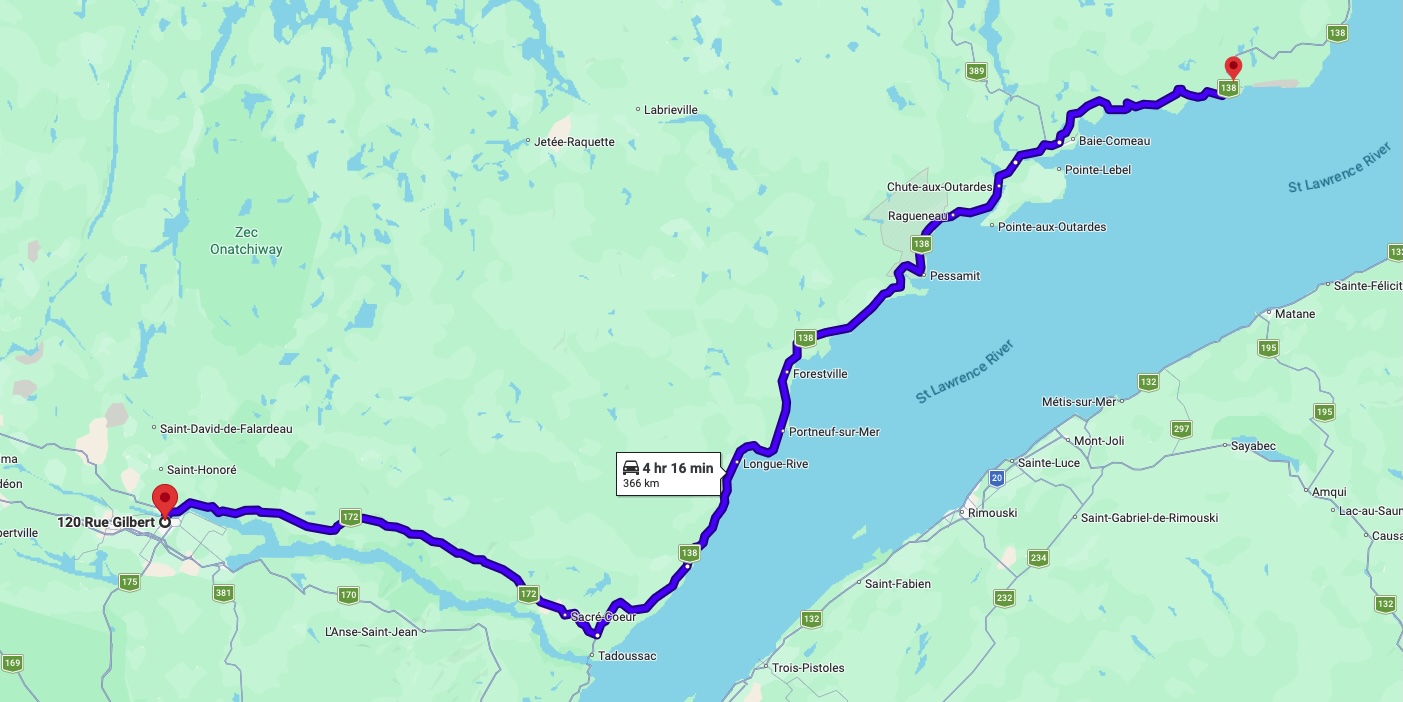
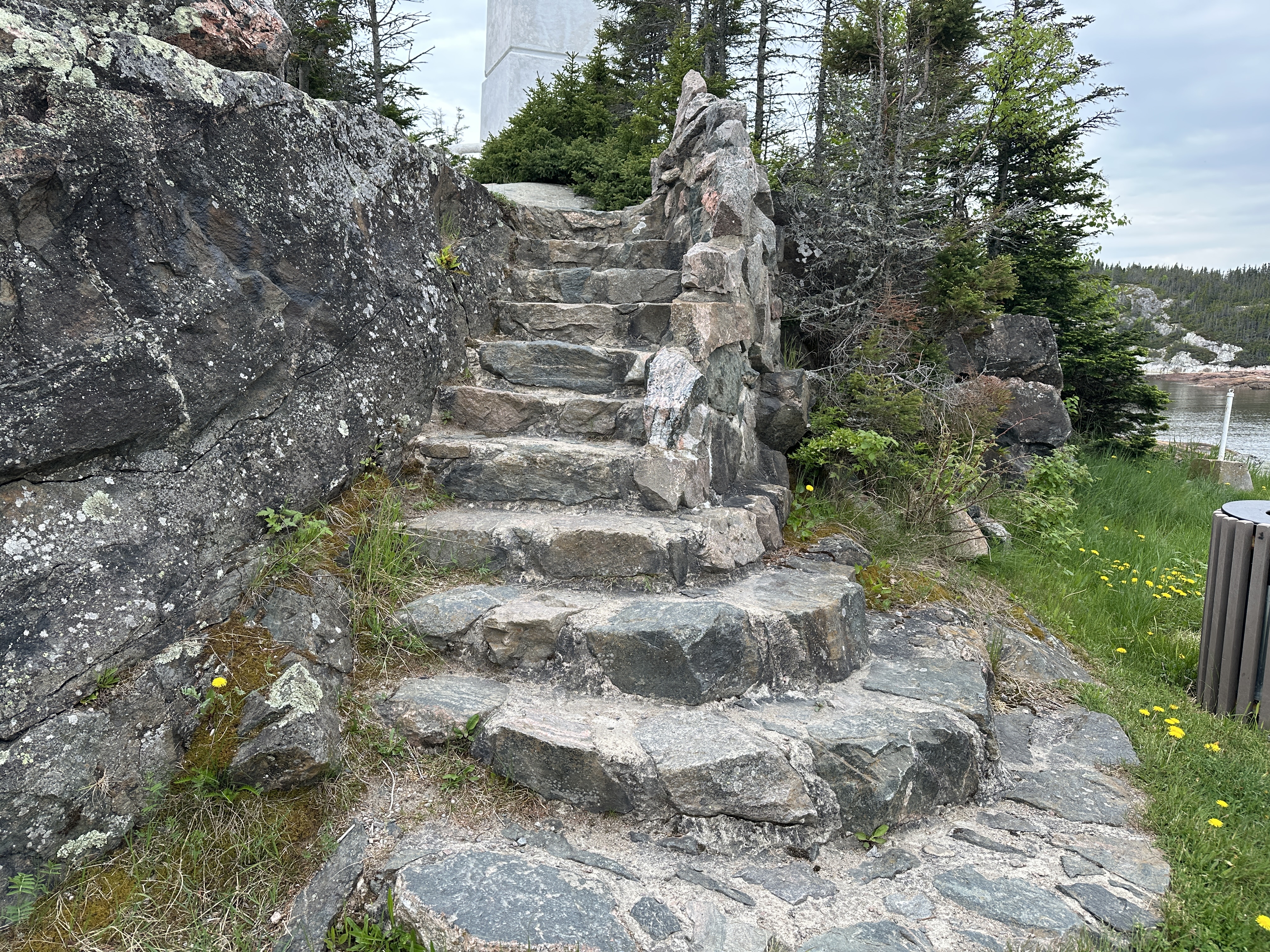
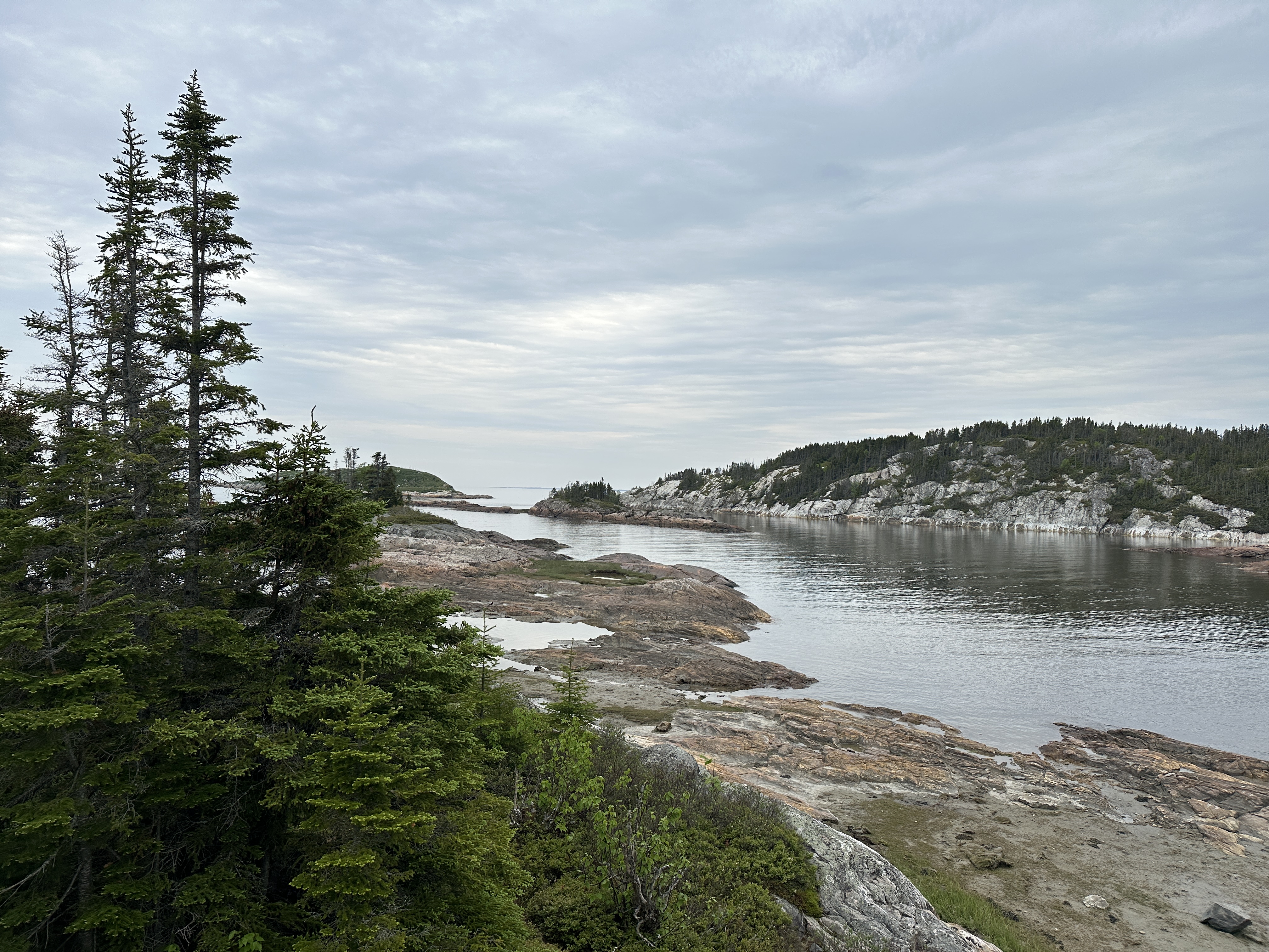
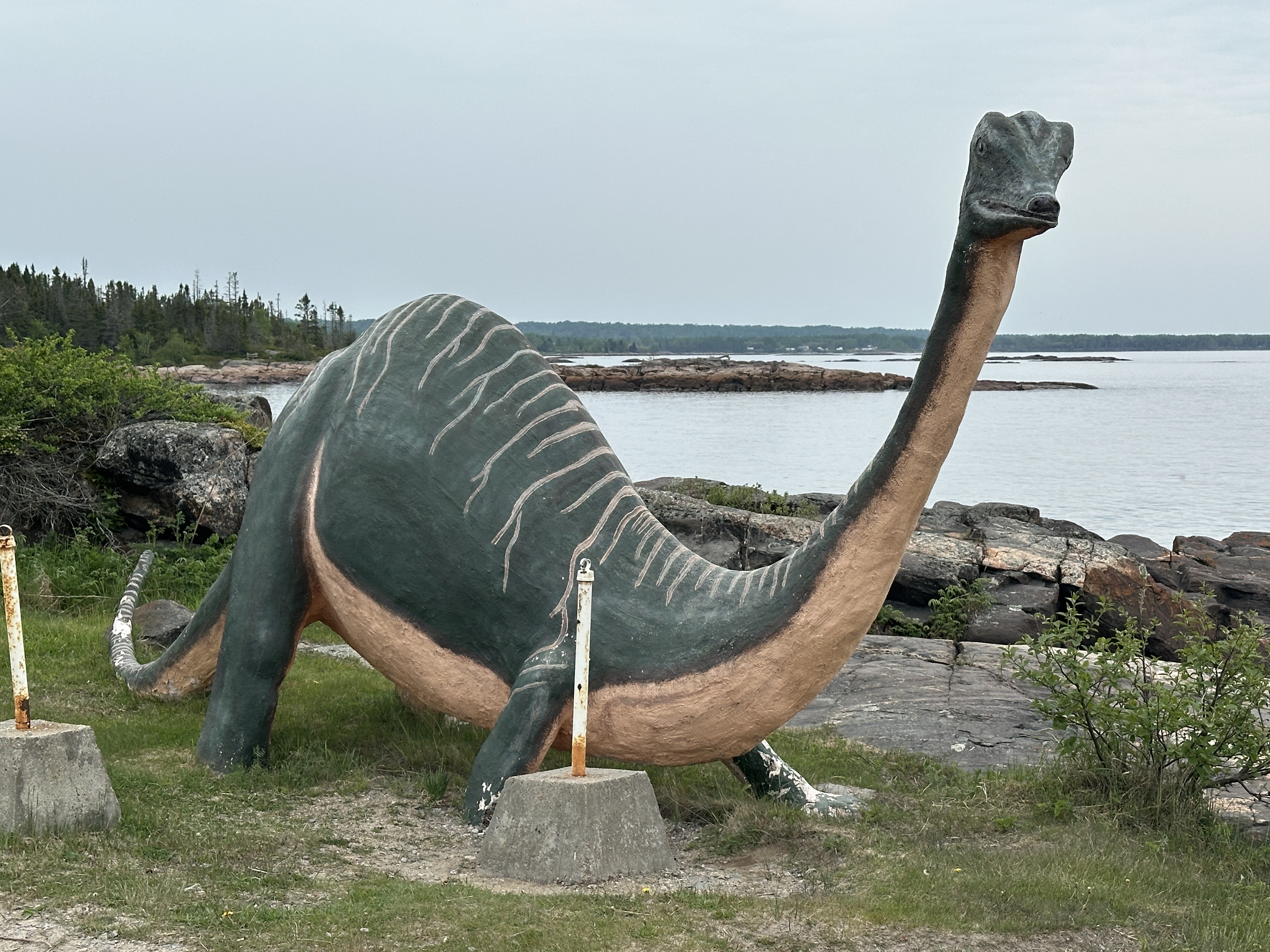
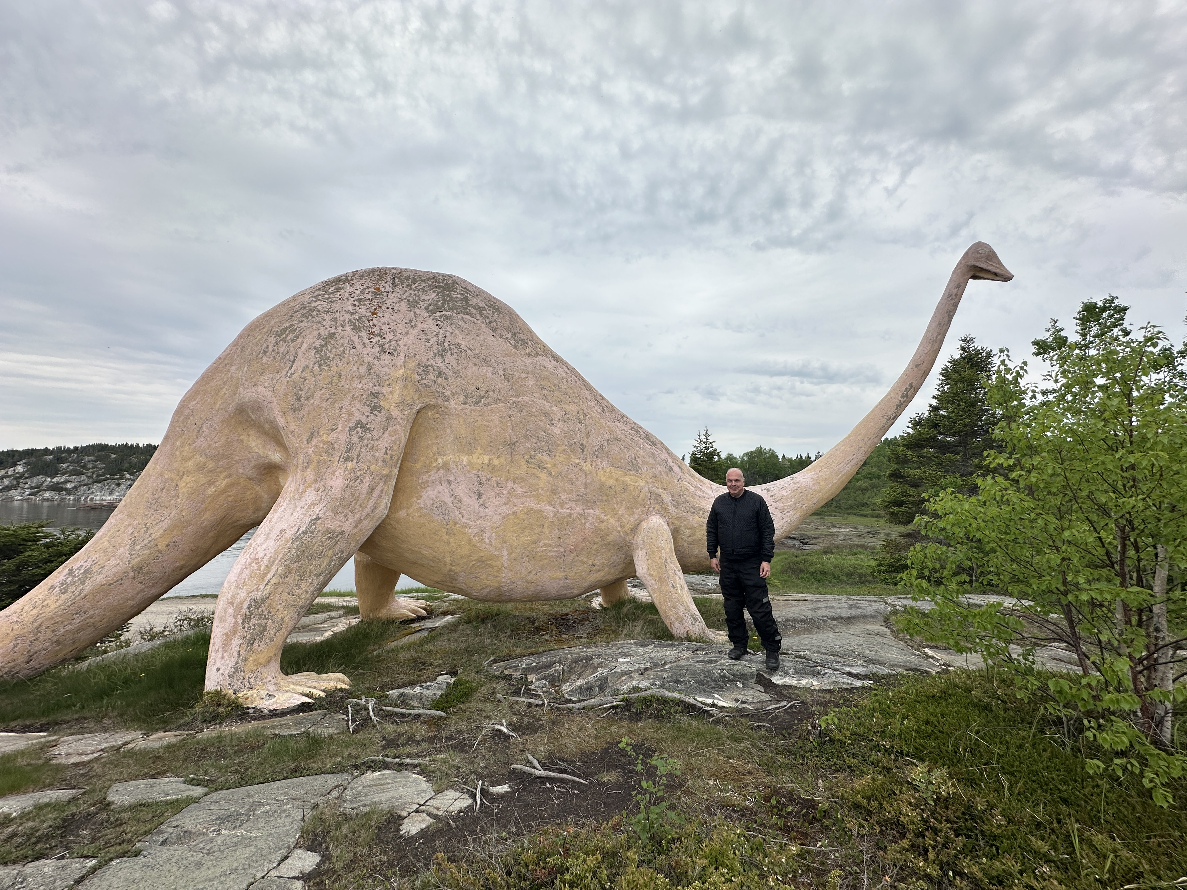
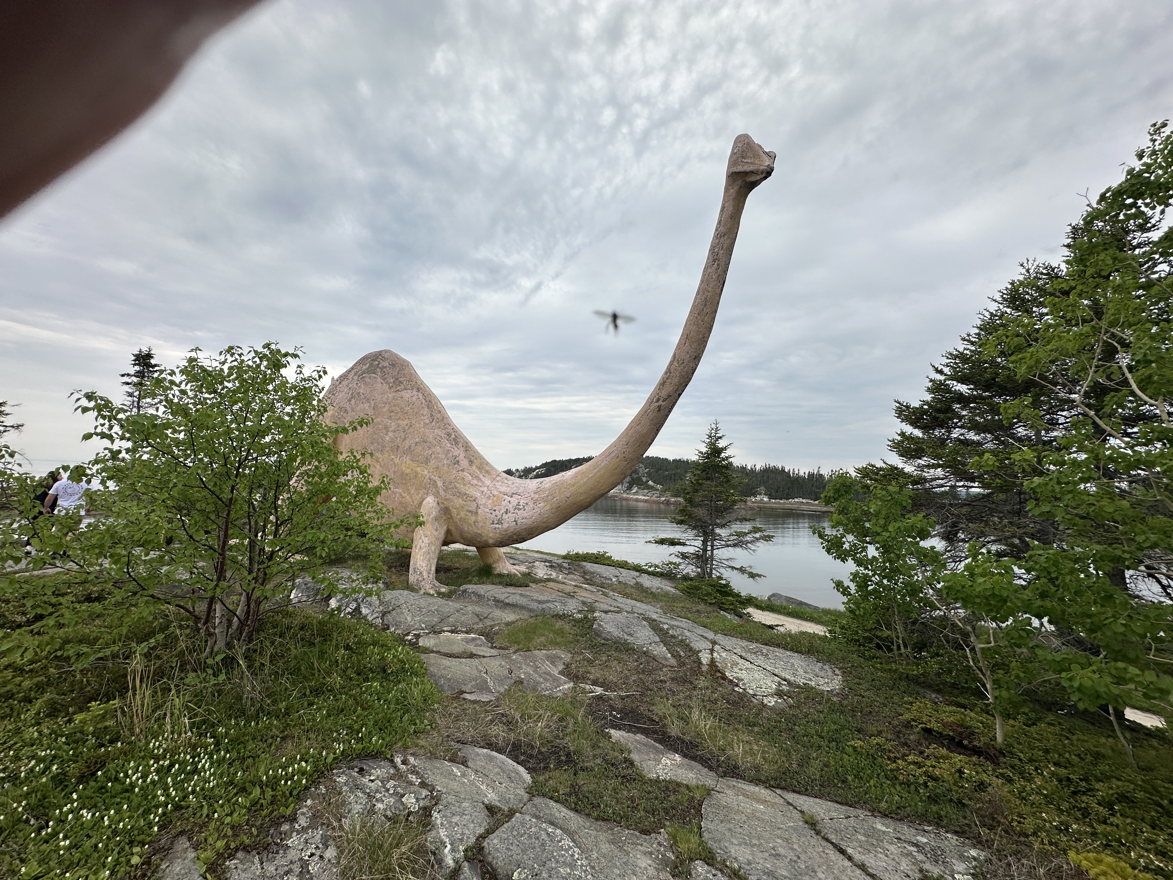
Day 3 route, 172 along the Saguenay River/Fjord. 138 along the Saint Lawrence to Baie Comeau. Stopped at a lookout called Les Dinosaures du Quai De Ragueneau 1 hour from Baie Comeau. Headed past Baie Comeau along 138 and back since it was early.
Weather: Started day 22C and sunny. Temperature dropped to 18C when reaching the St-Lawrence river. Overcast with a few drops when reaching Baie-Comeau.
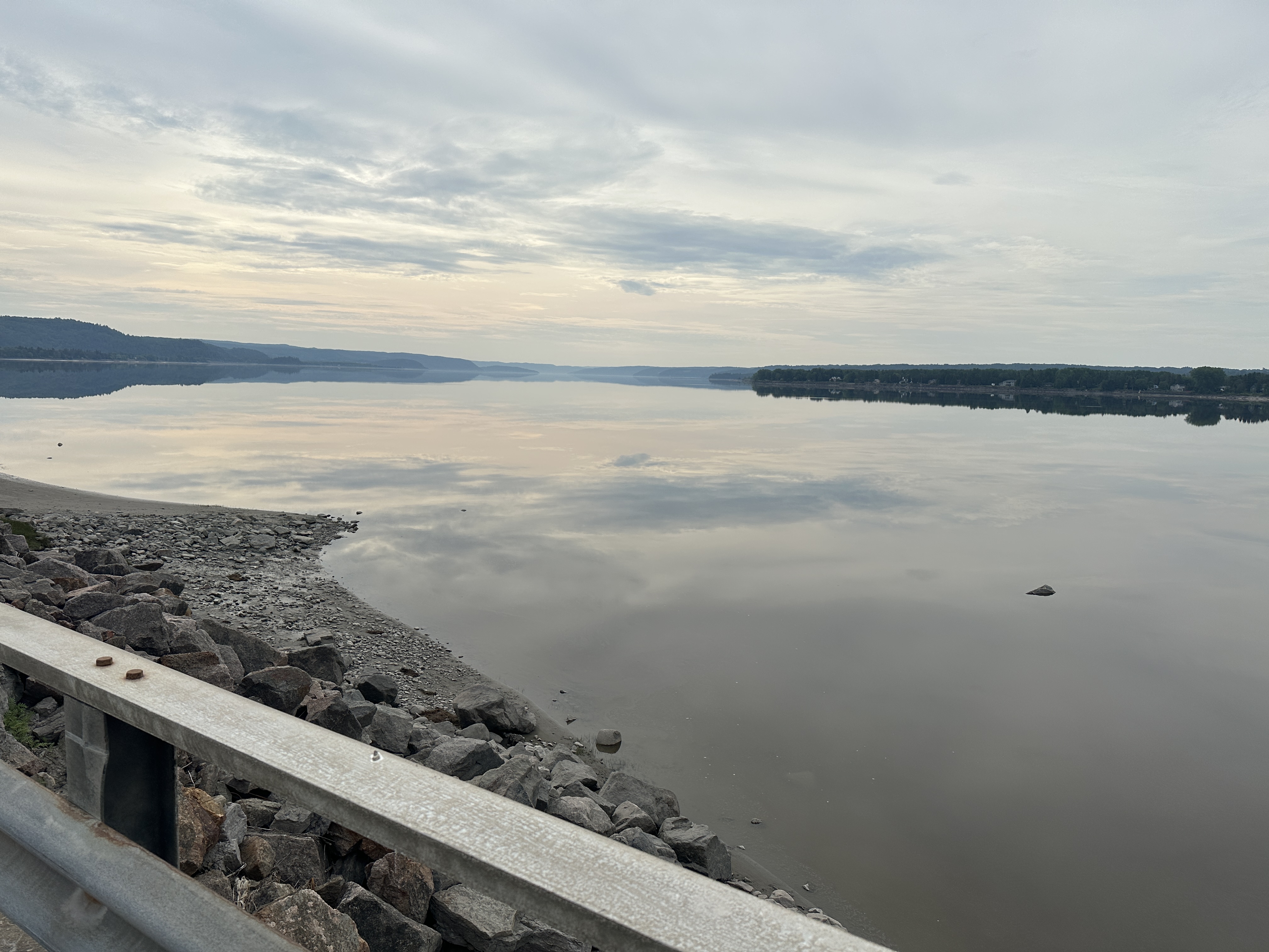
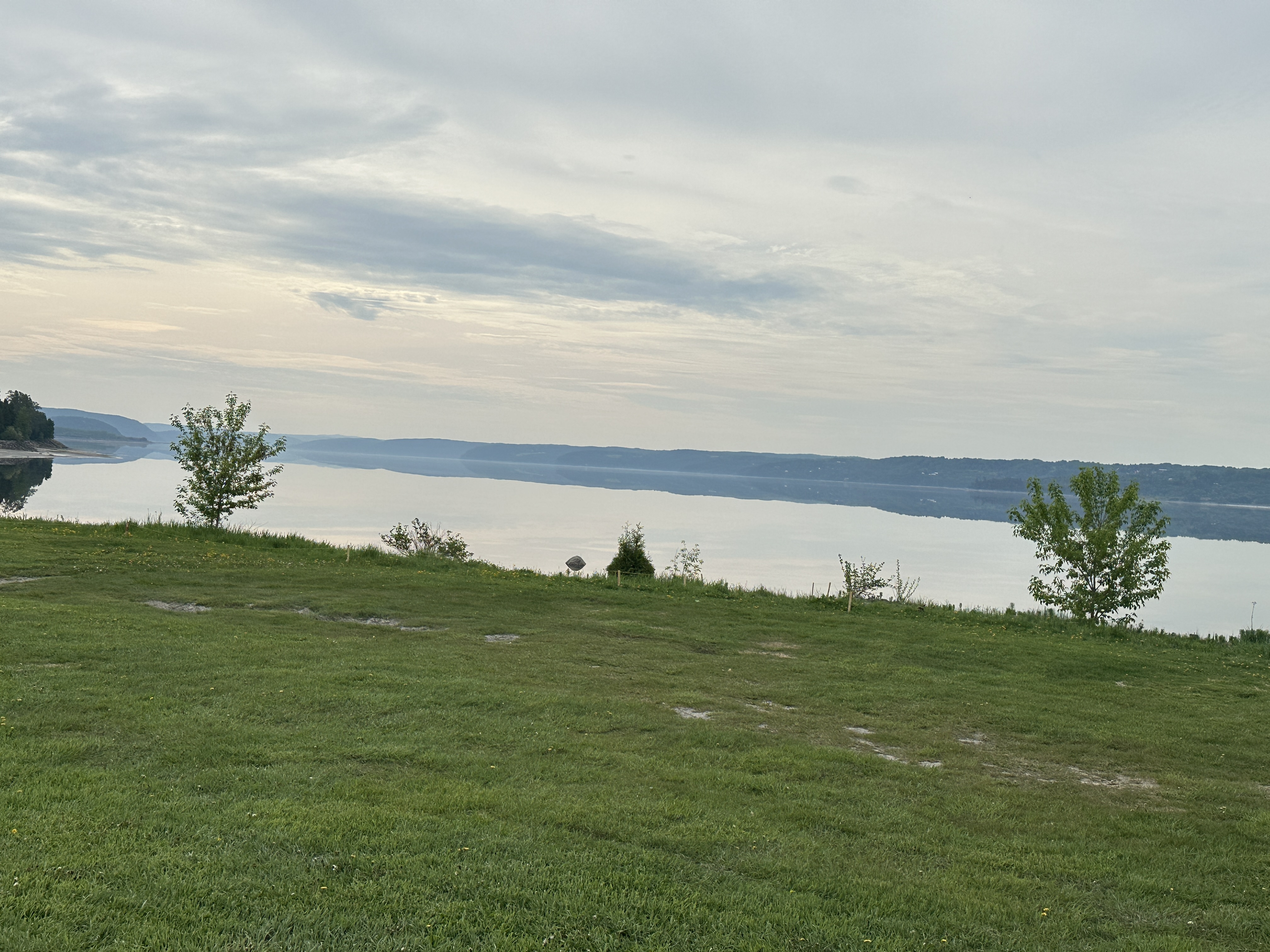
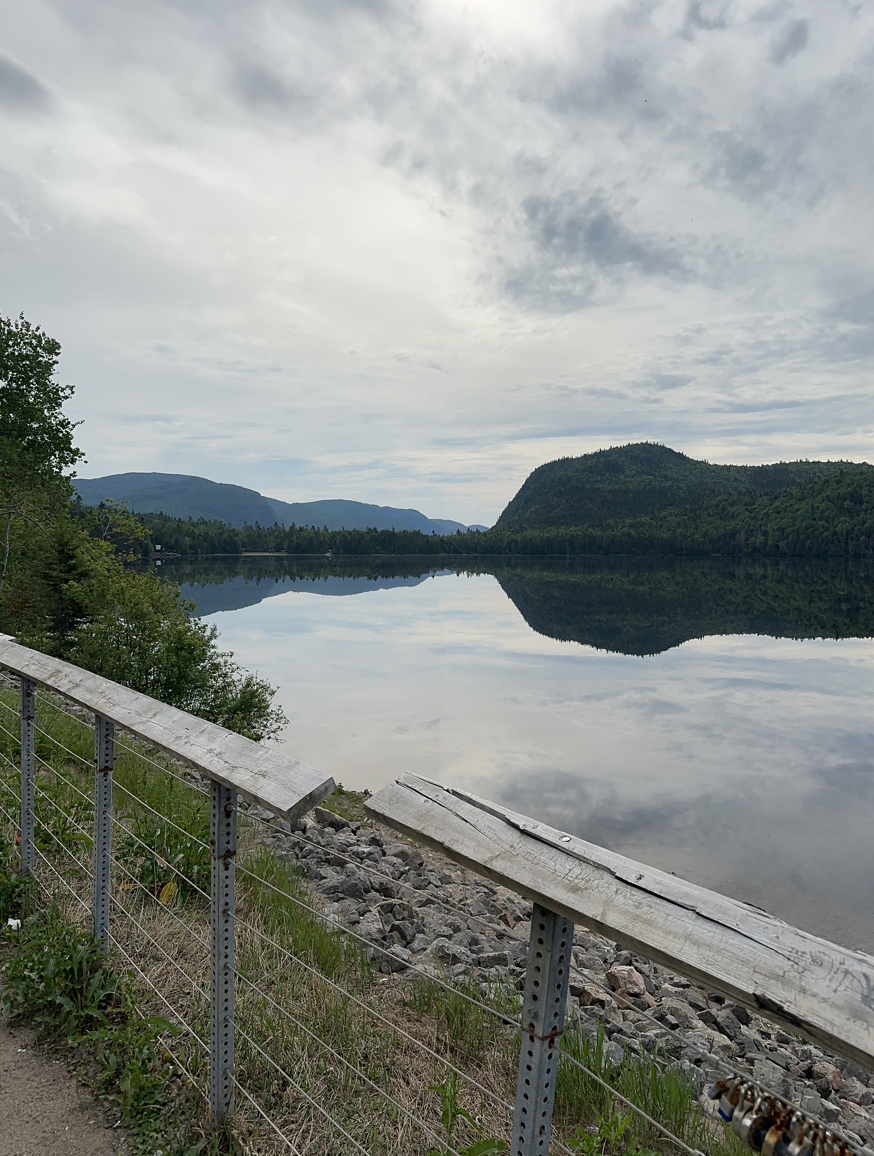
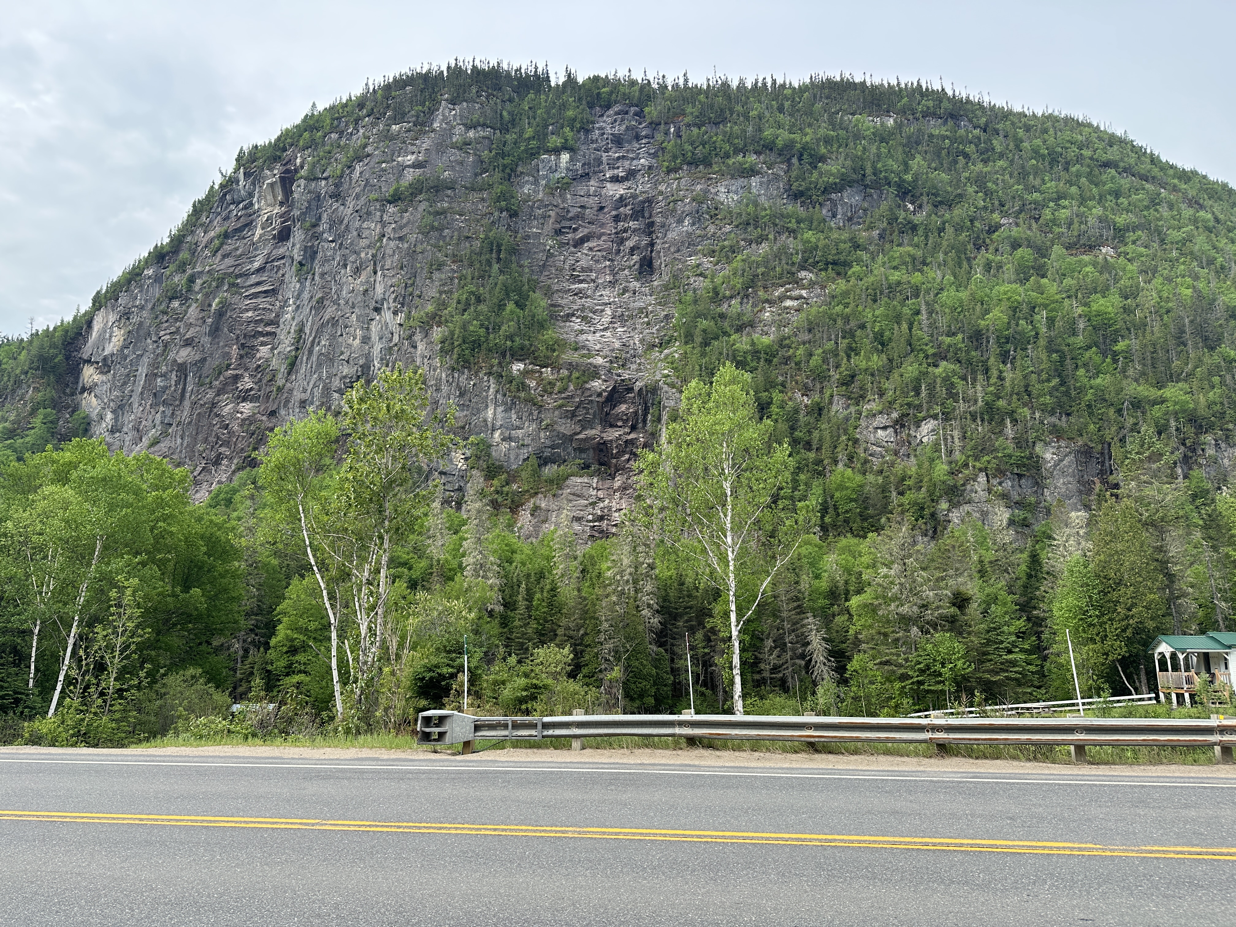
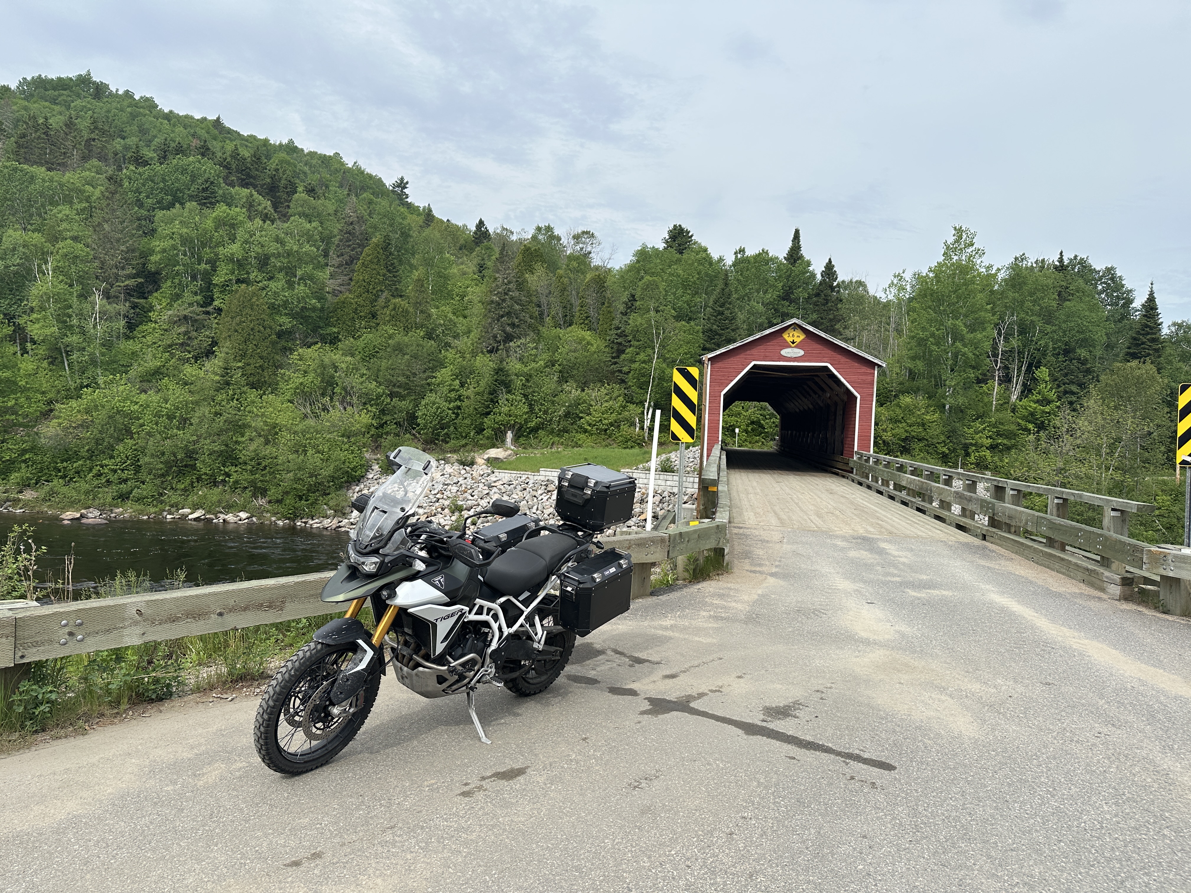
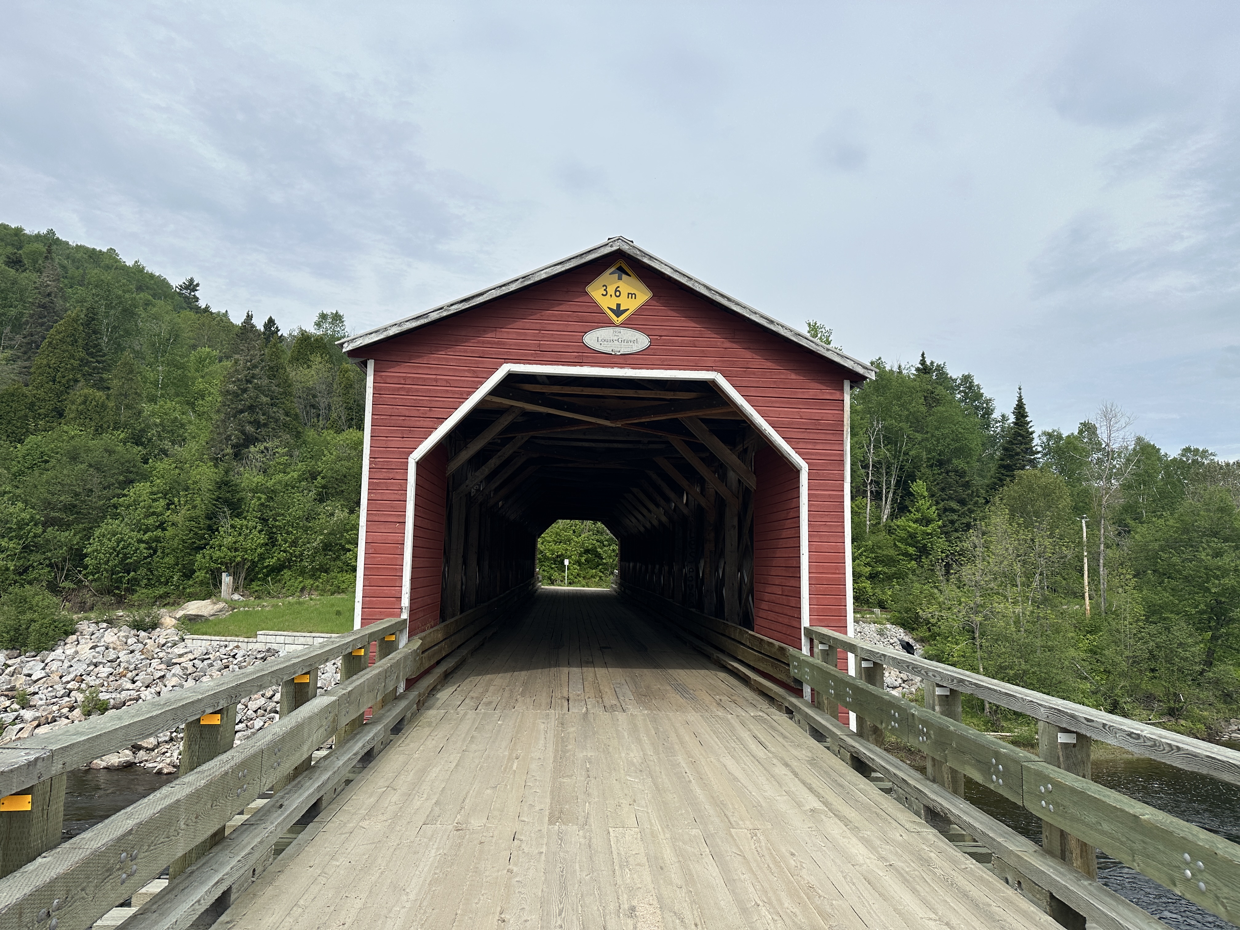
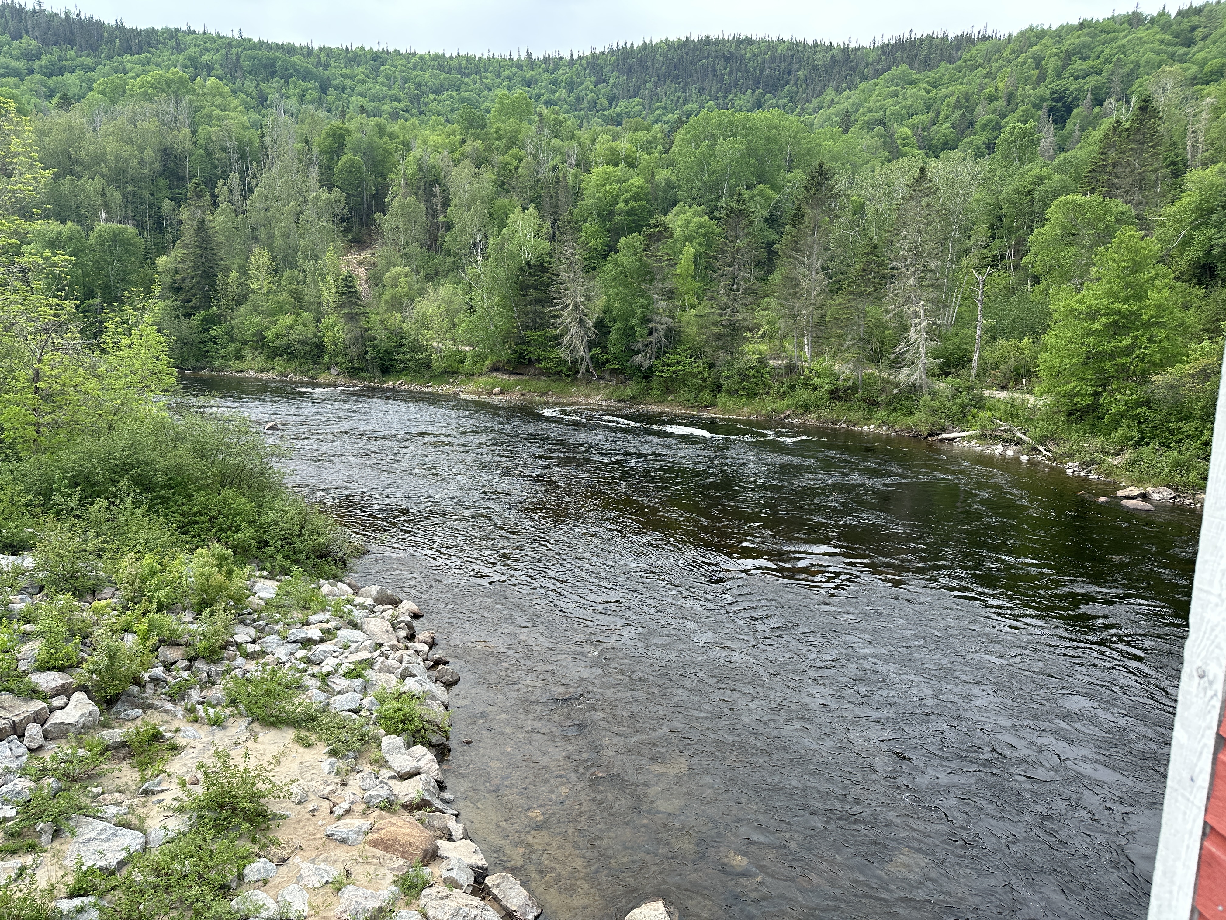
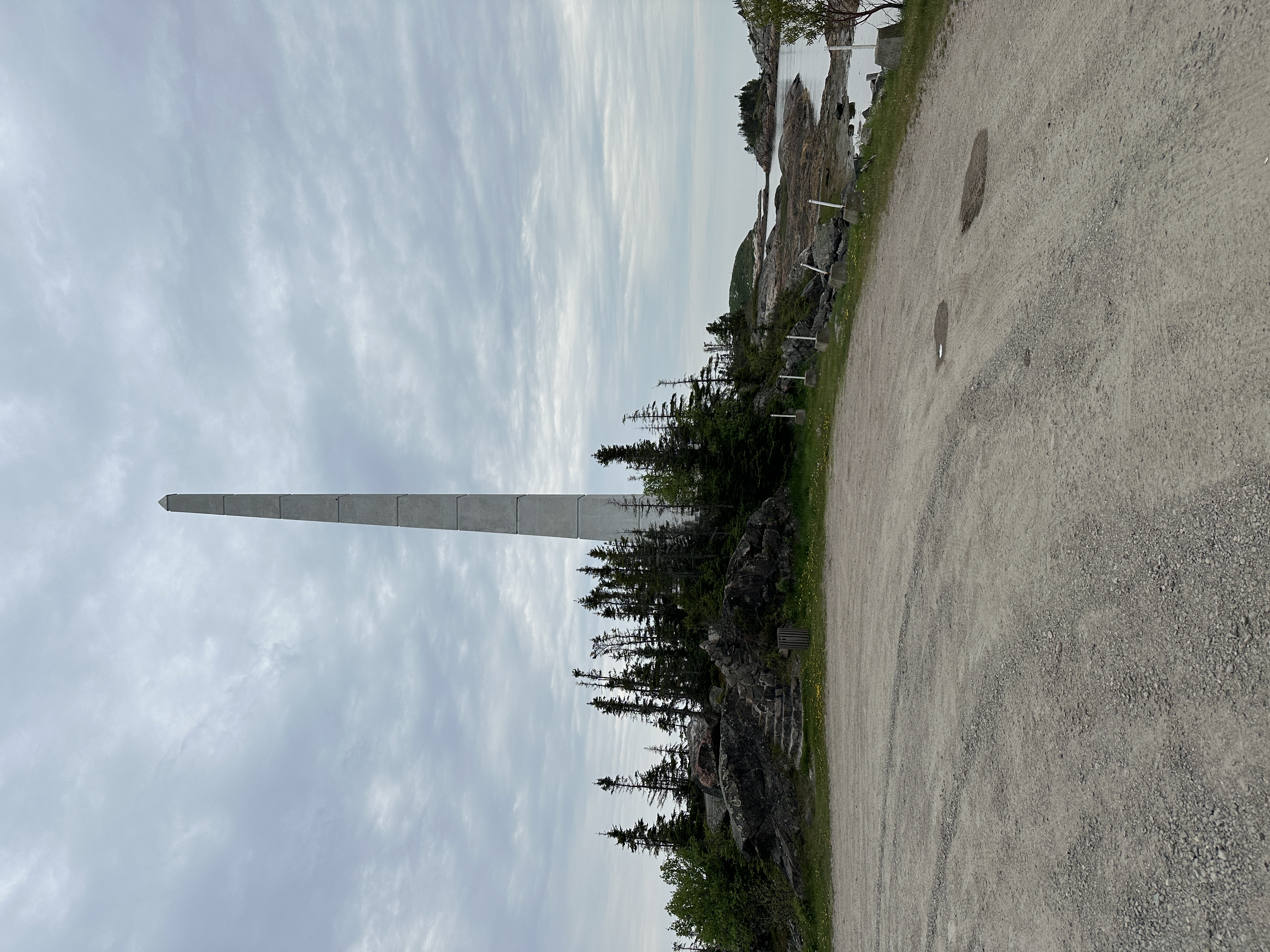
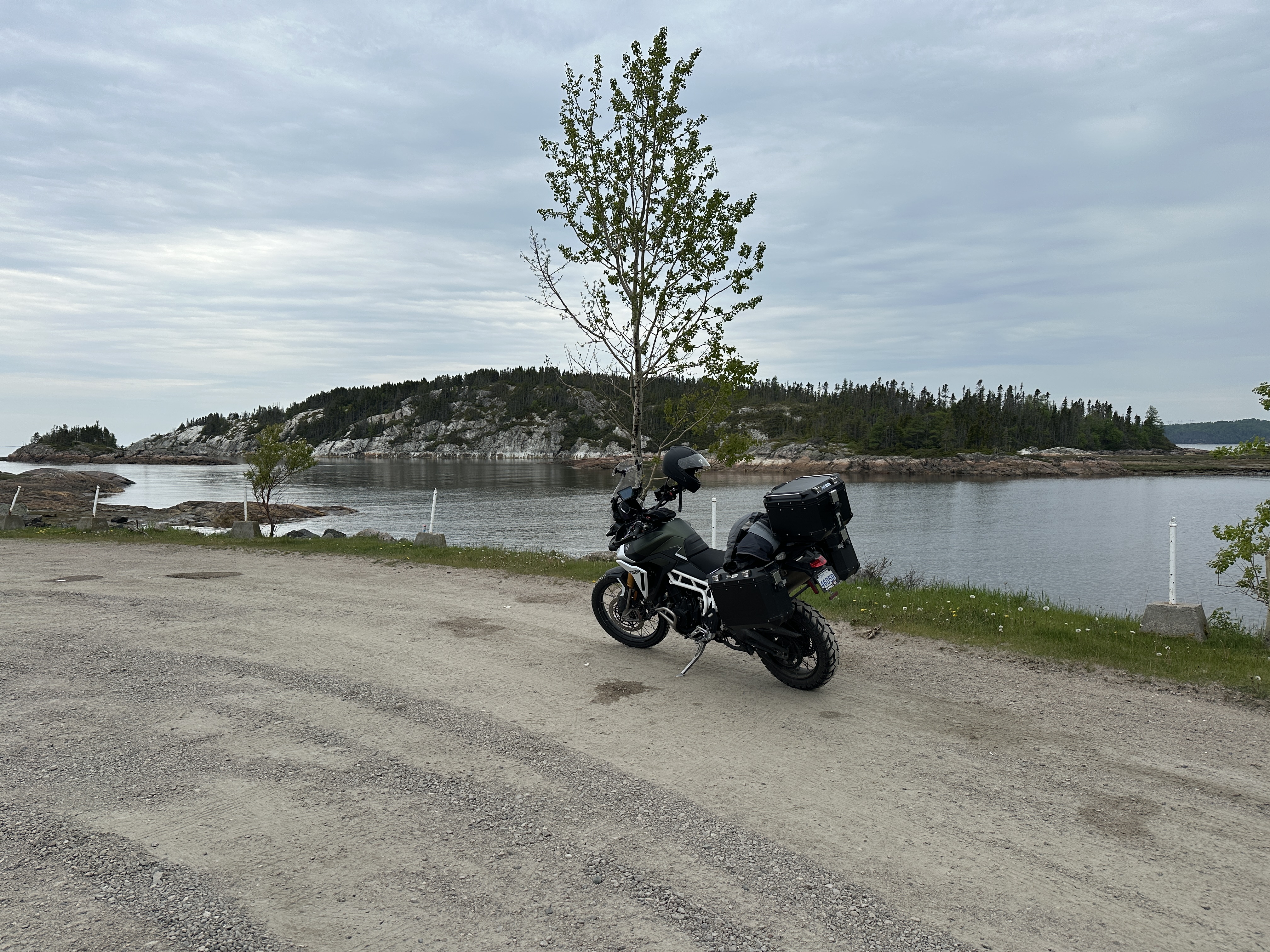
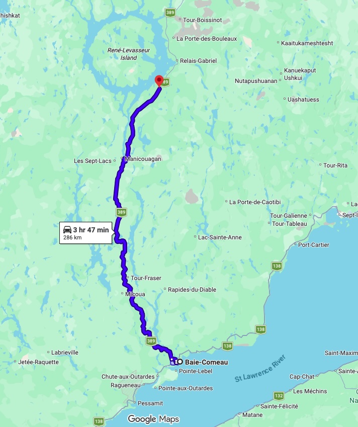
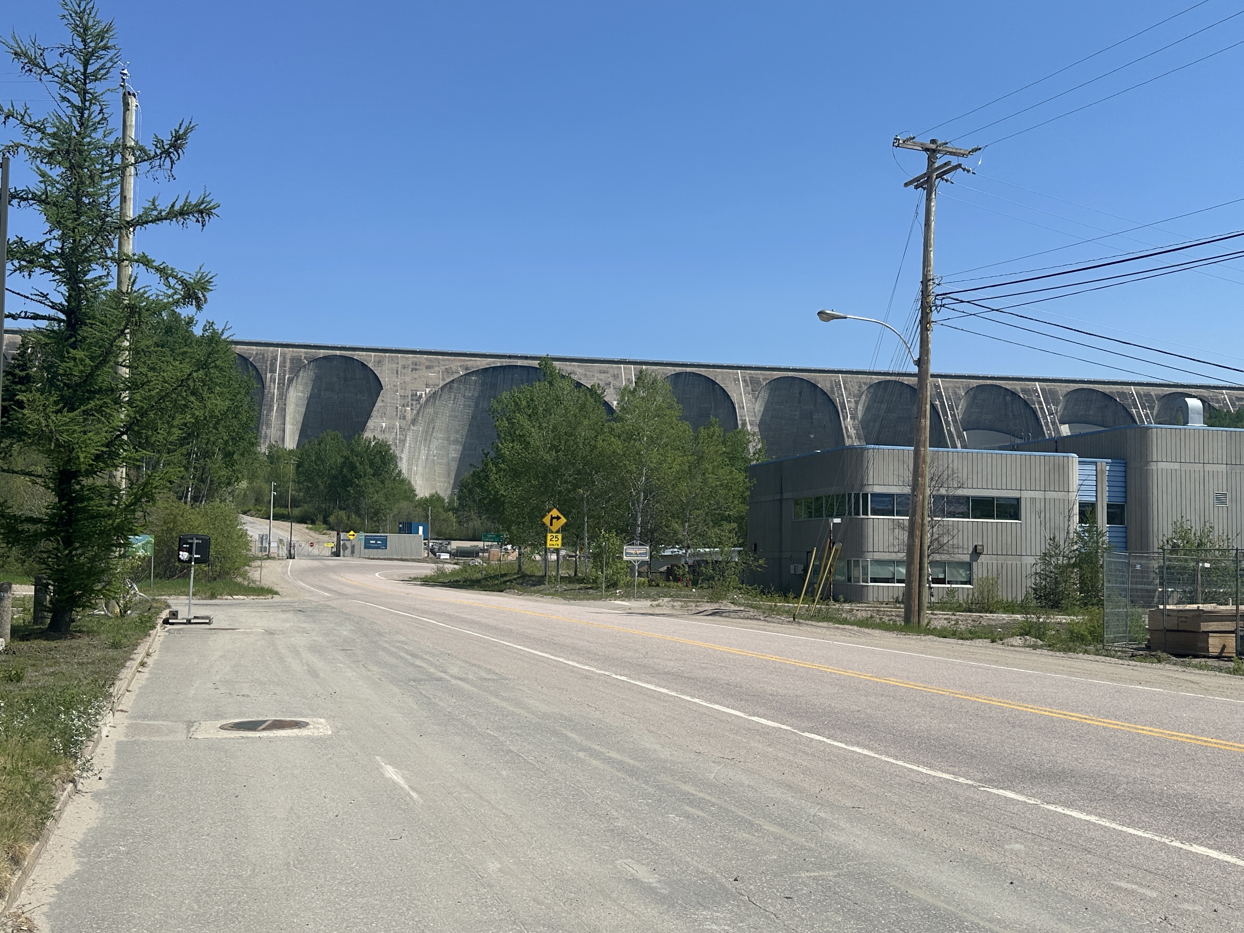
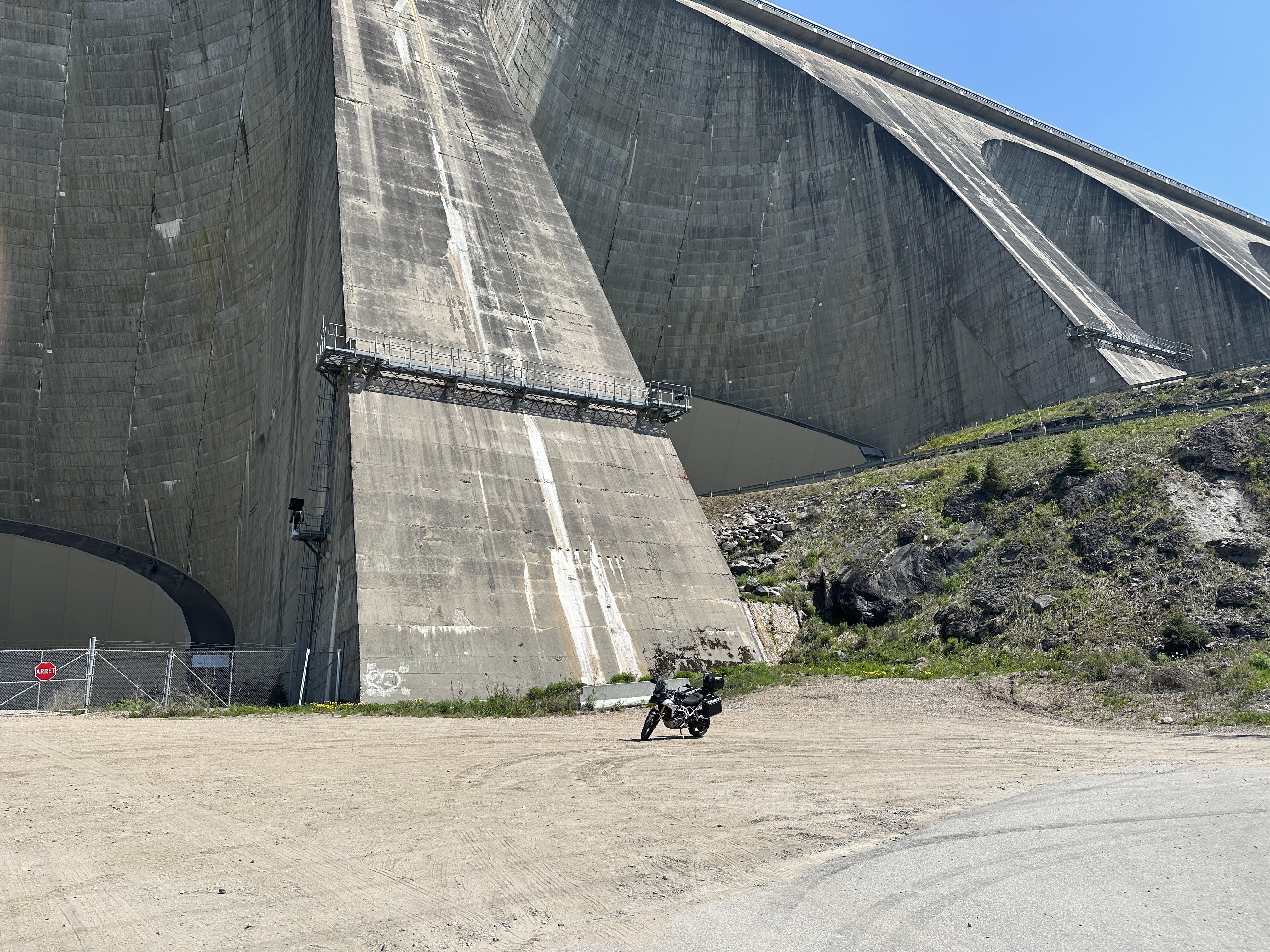
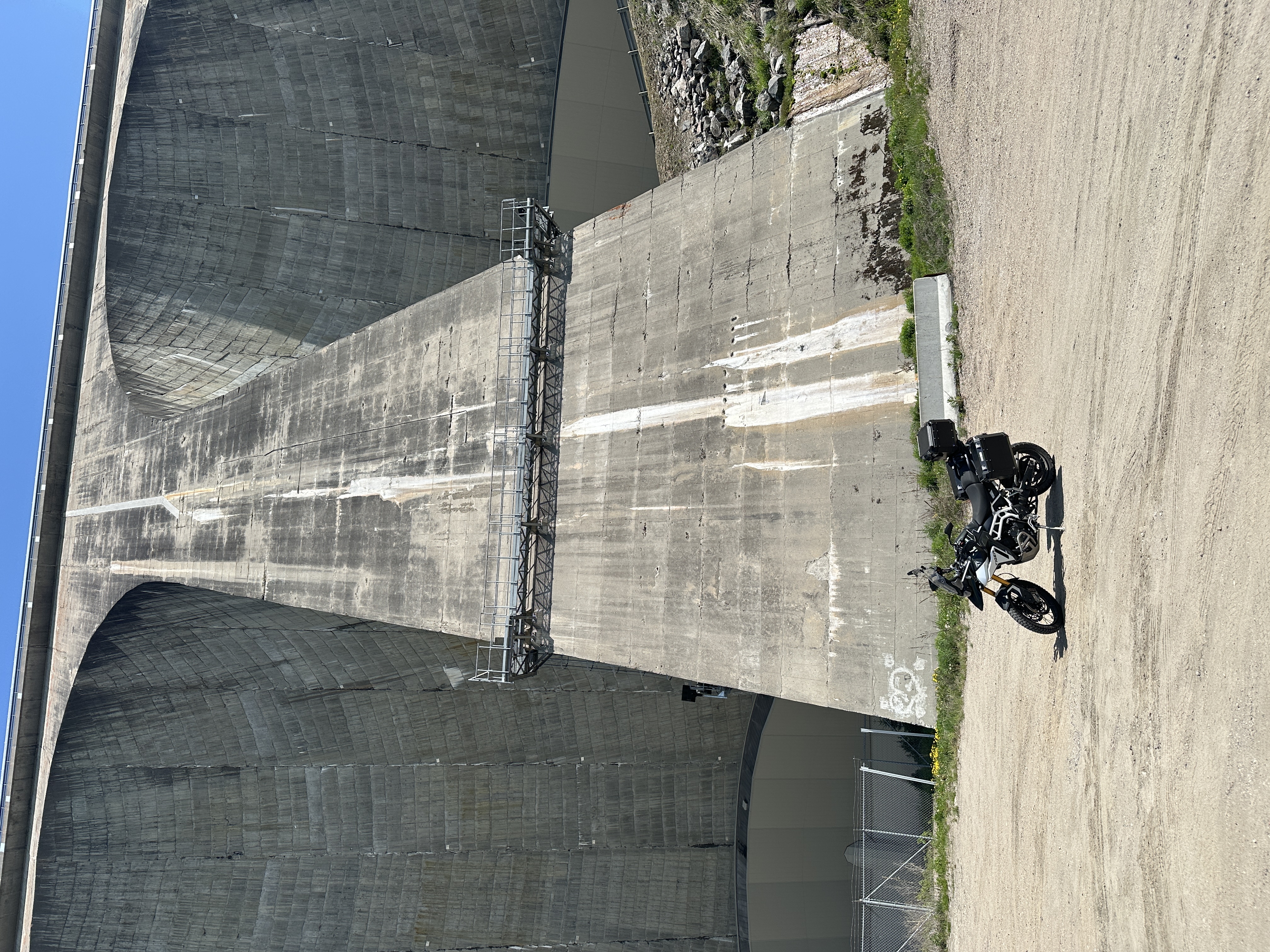
Day 4 route, Day trip to Manic 5 dam and Manicouagan Reservoir on highway 389. Ride up and back on the 389 is very nice. Lots of curves, elevation changes and great views.
Weather: Had rain overnight, rain stopped and 14C to start. Temperature up to 30C when reaching Manic 5 dam. Dropped back down to 20C when returning to Baie Comeau and the river effect.

Rogers added satellite access on their network. Noticed this notification that satellite communication was available on the way to Manic 5. I like the satellite icon where we normally see the 5G/LTE icon on the top right.
I do have a Garmin InReach in case of emergency so I did not tap "Use Satellite".
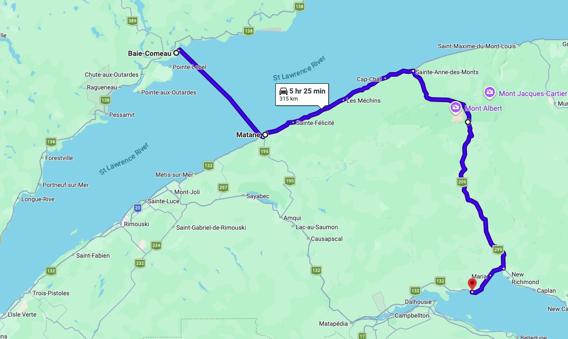
Day 5 route, Start with 2.5 hr ferry to cross the St Lawrence river from Baie Comeau to Matane. Then ride east on the 132 and 299 to cross Parc De La Gaspesie to Carleton Sur Mer on Baie des Chaleurs. The 299 is very nice ride.
Weather: When taking the ferry at 11AM it was 18C and sunny. After reaching Matane at 2:30PM, it was really windy and only 11C. This was the coldest day. Wore lots of layers. Luckily temperature rose as headed away from the St Lawrence river on the 299. I was heading for Baie des Chaleurs after all.
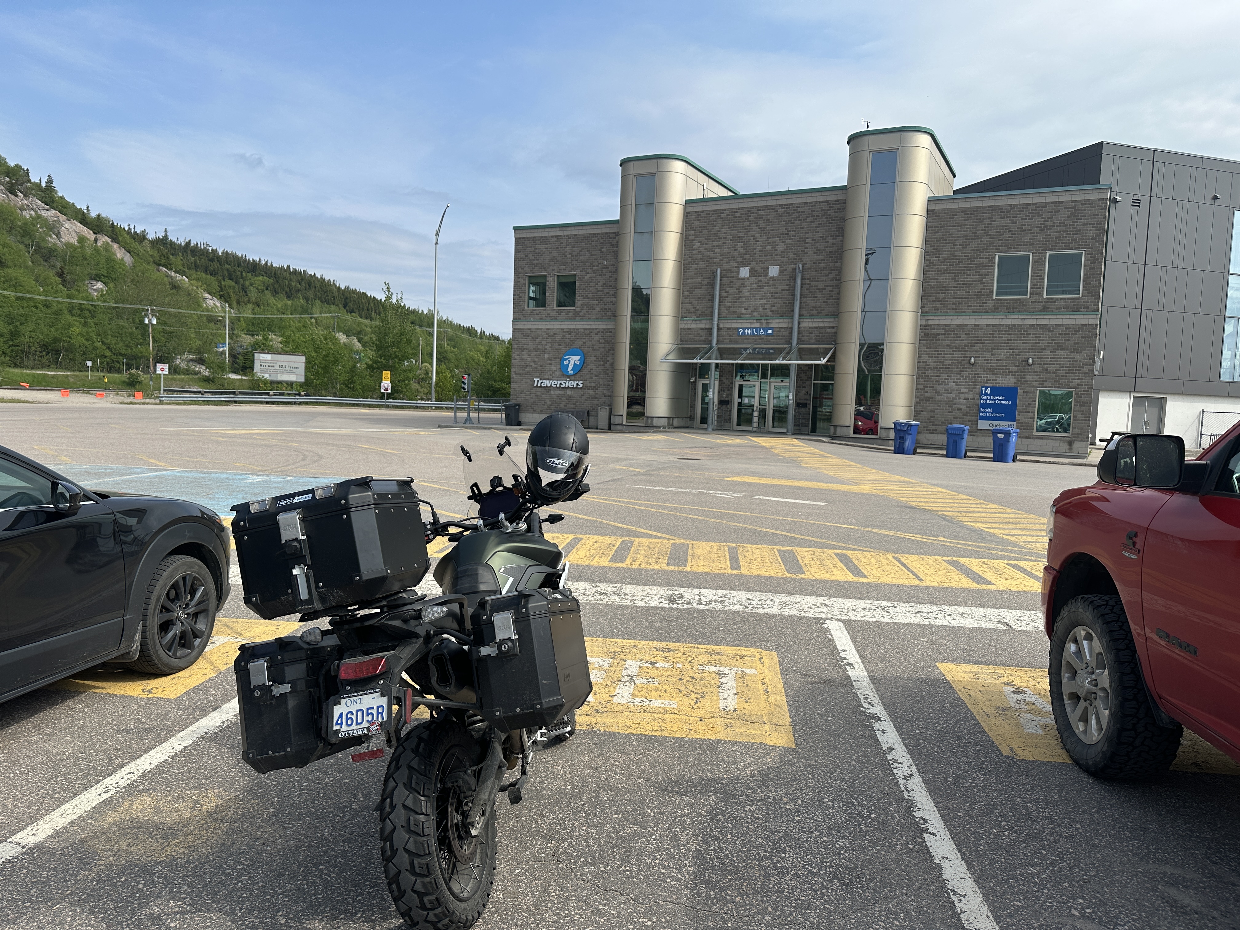
First in line in the motorcycle row. Motorcycle row was first to board so I was first on the ferry!
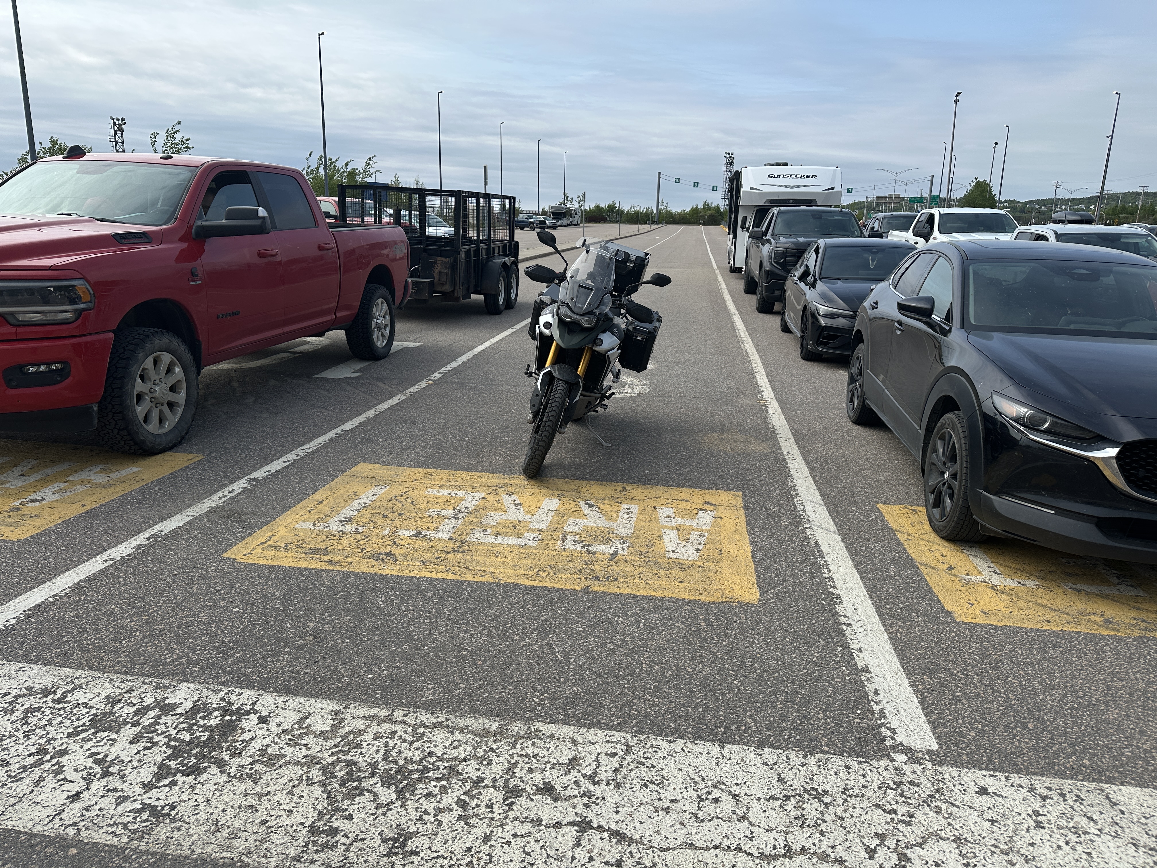
No other motorcycles, yet. 4 more joined before we left.

First on the ferry. Paid and found a nice seat on level 6 for 2.5 hour sail.
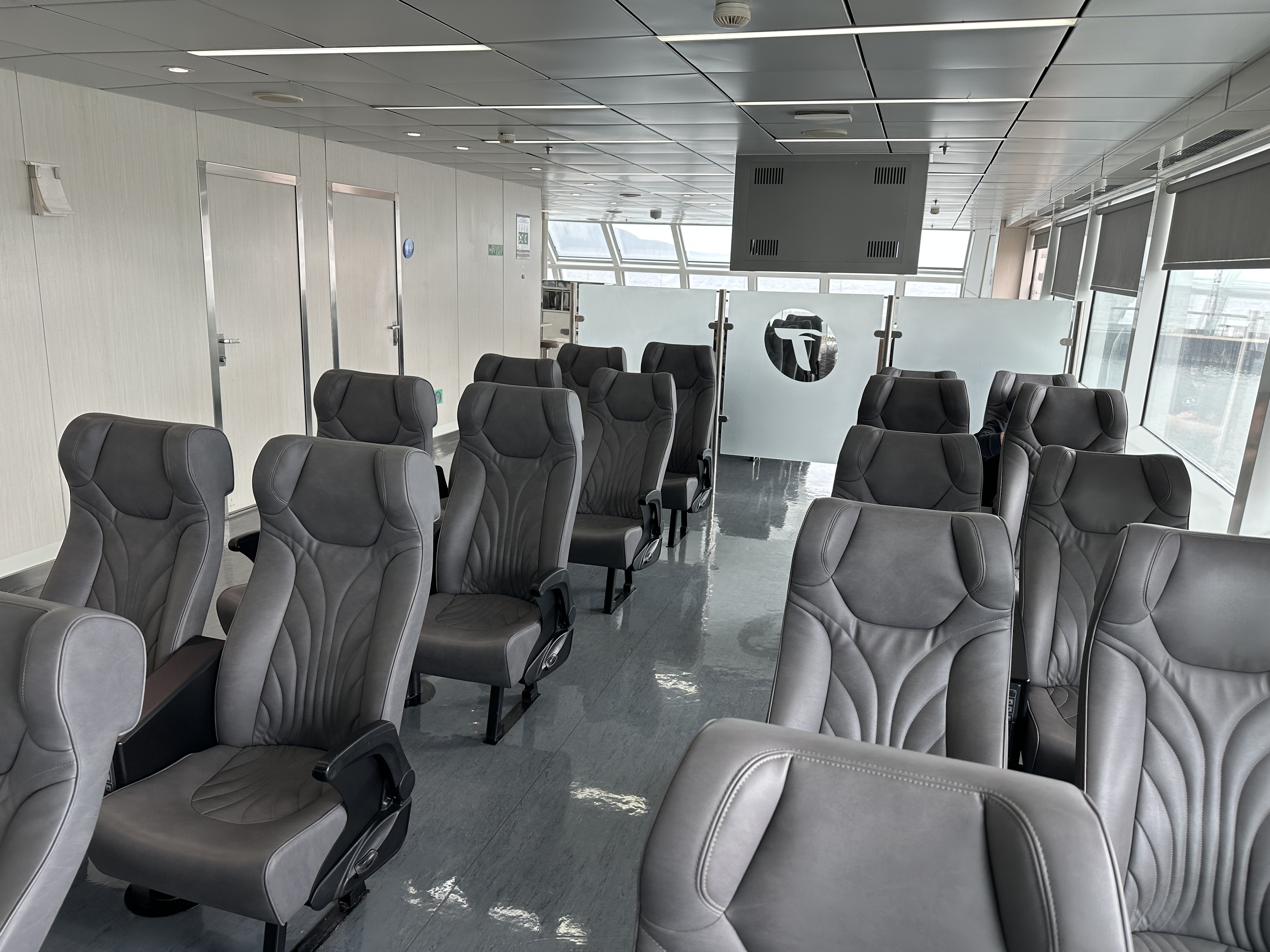
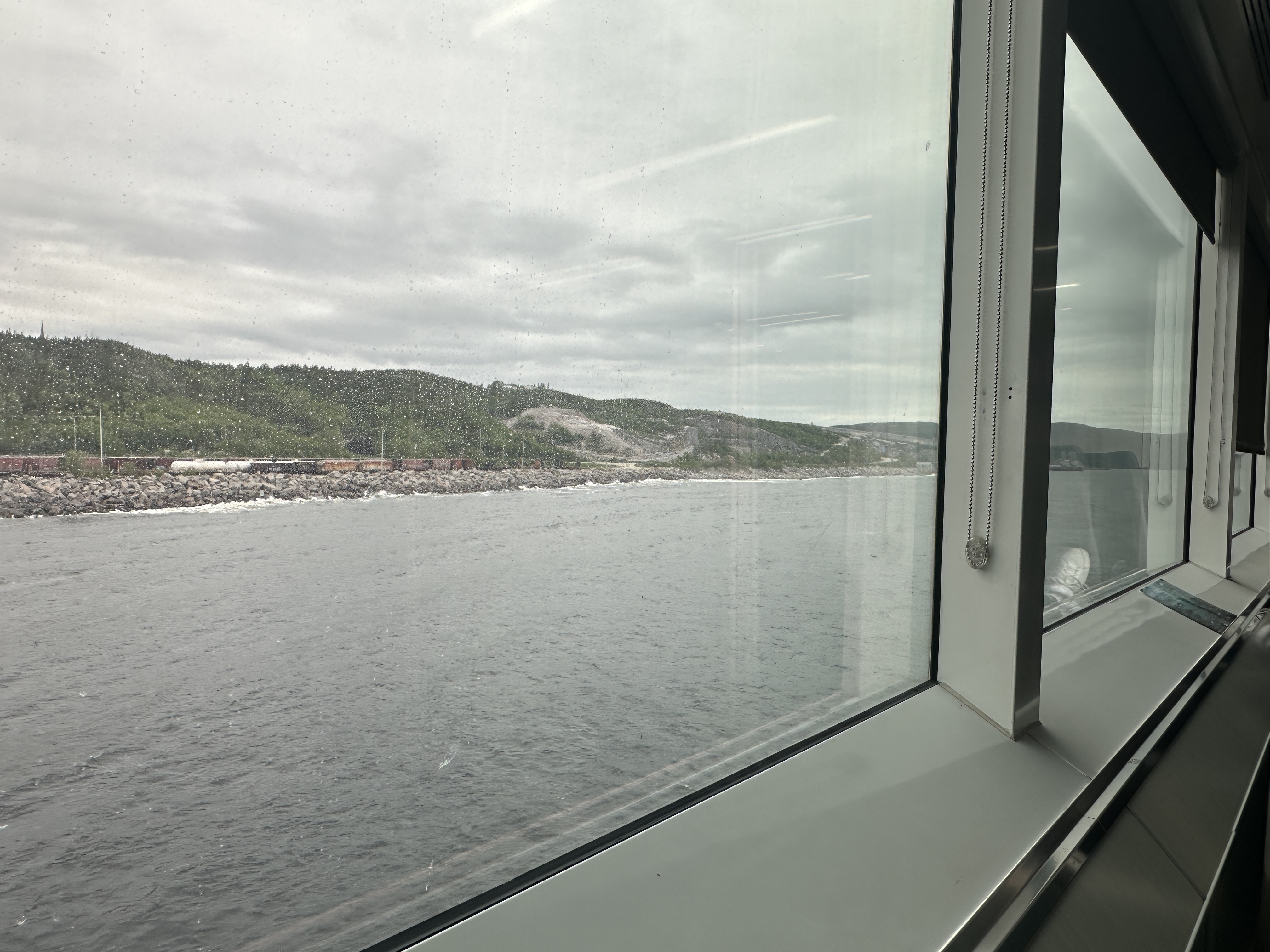
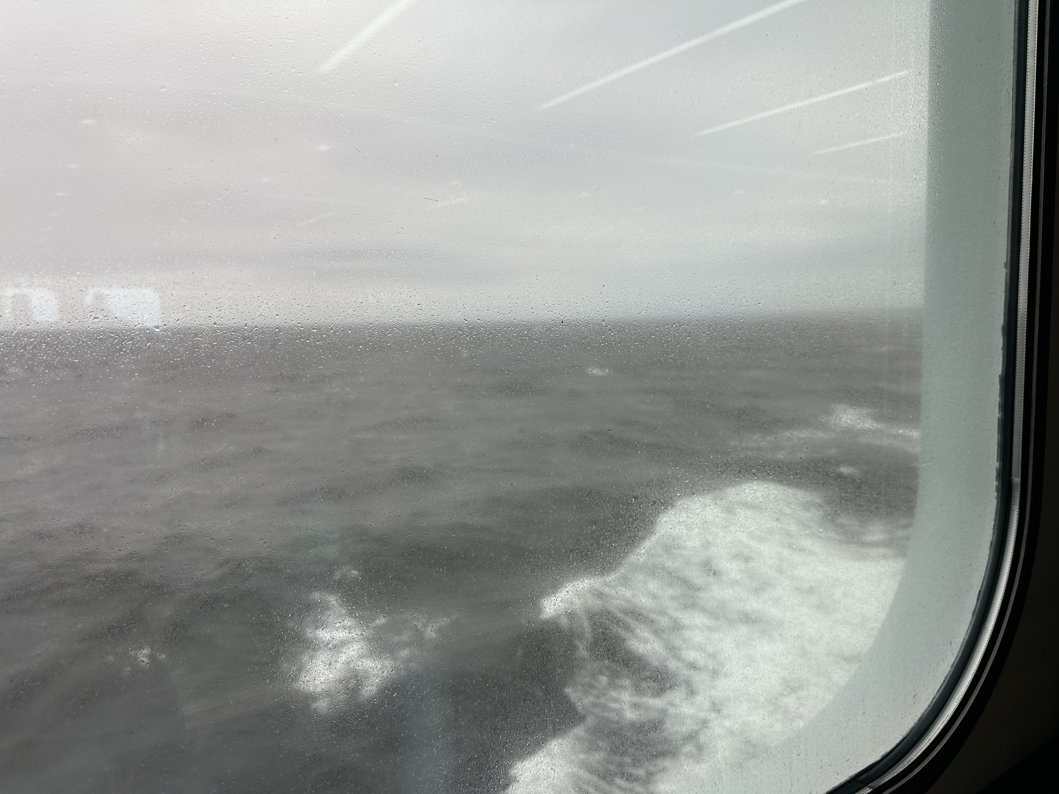
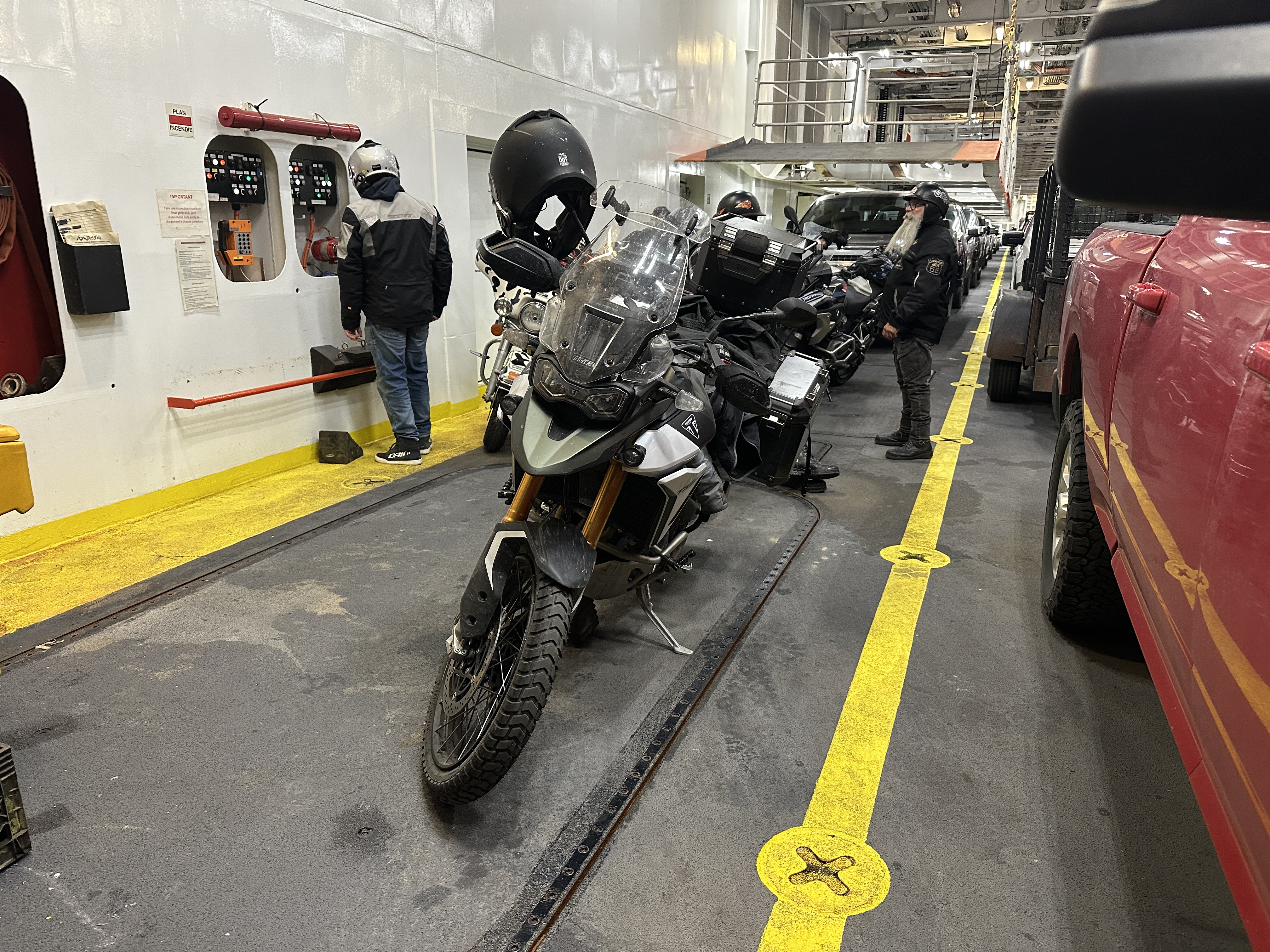
Arrived at Matane, ready to go. Second off of the ferry after red truck with trailer left.
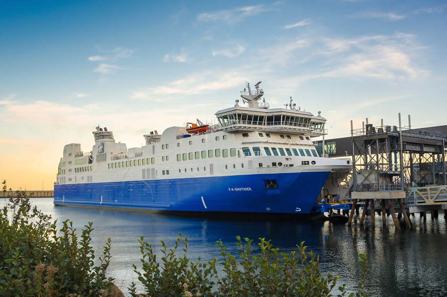
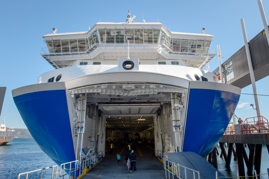
Could not get a good picture of the ferry before/after docking. Stole a few pictures from their website.
From their website: Constituting the largest vessel in the STQ fleet, the vessel is a ferry-type vessel, 133.3 m long, capable of reaching a cruising speed of around 20 knots. It has a boarding capacity of around 180 vehicles, and is able to move more or less 800 passengers. It is the link between the regions of Côte-Nord, Bas-Saint-Laurent and Gaspésie.
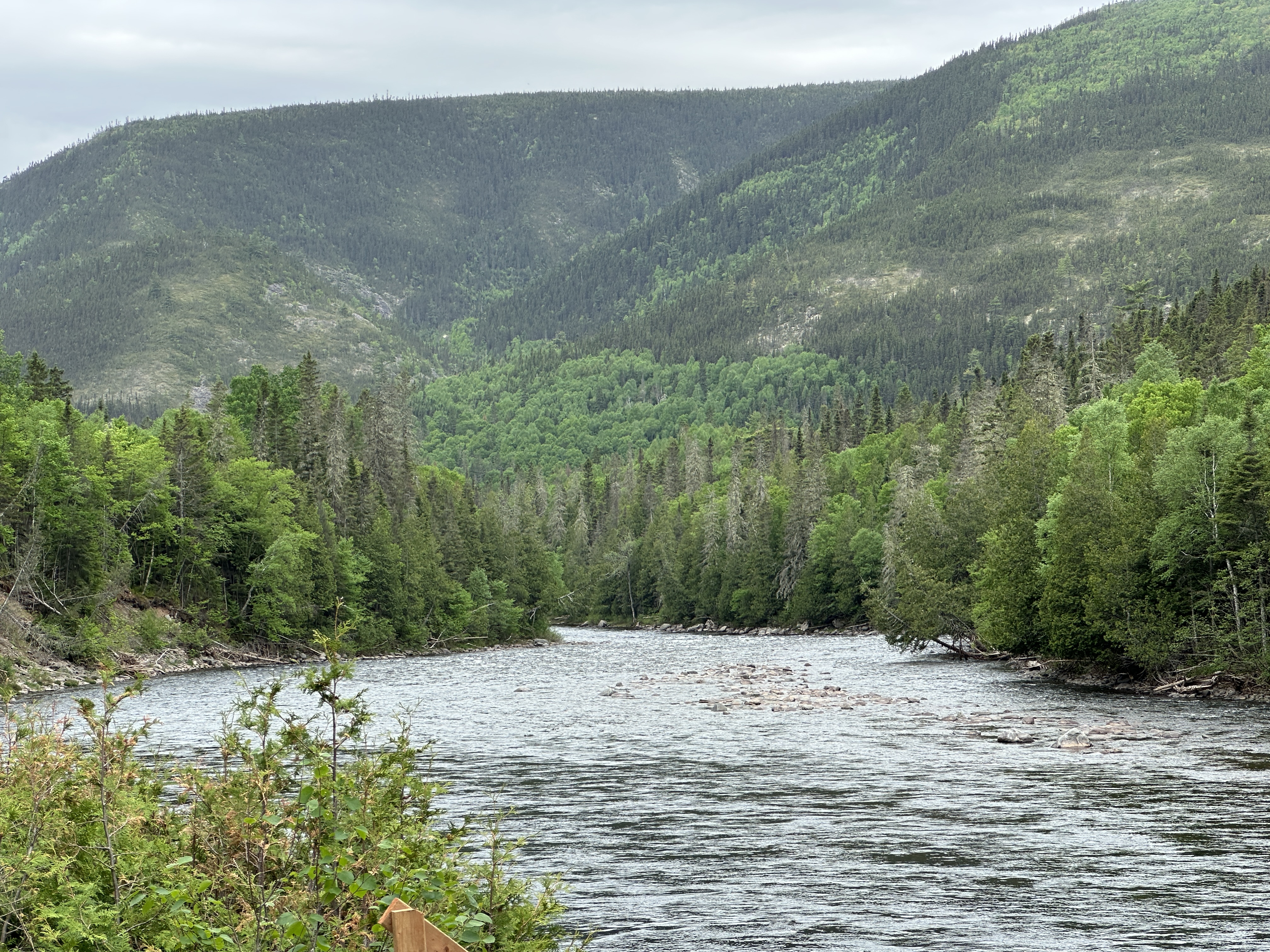
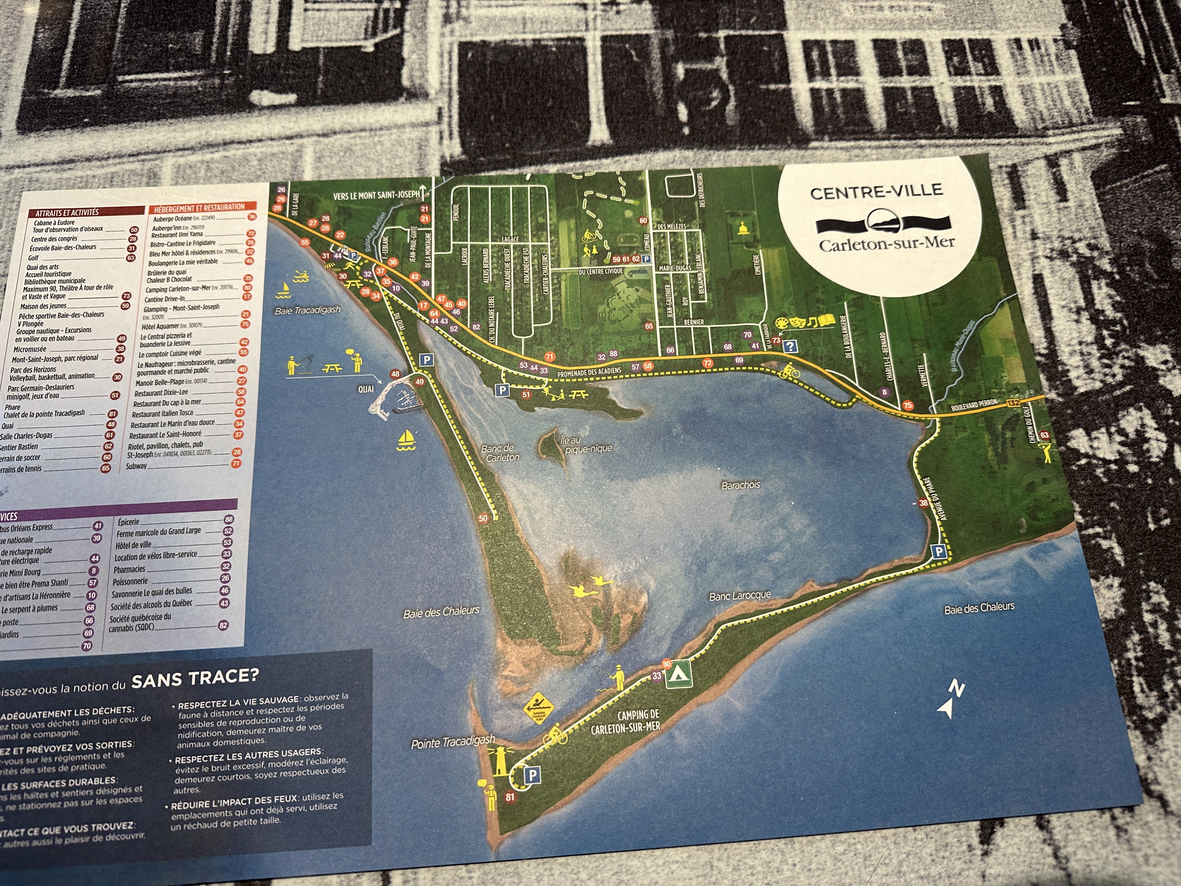
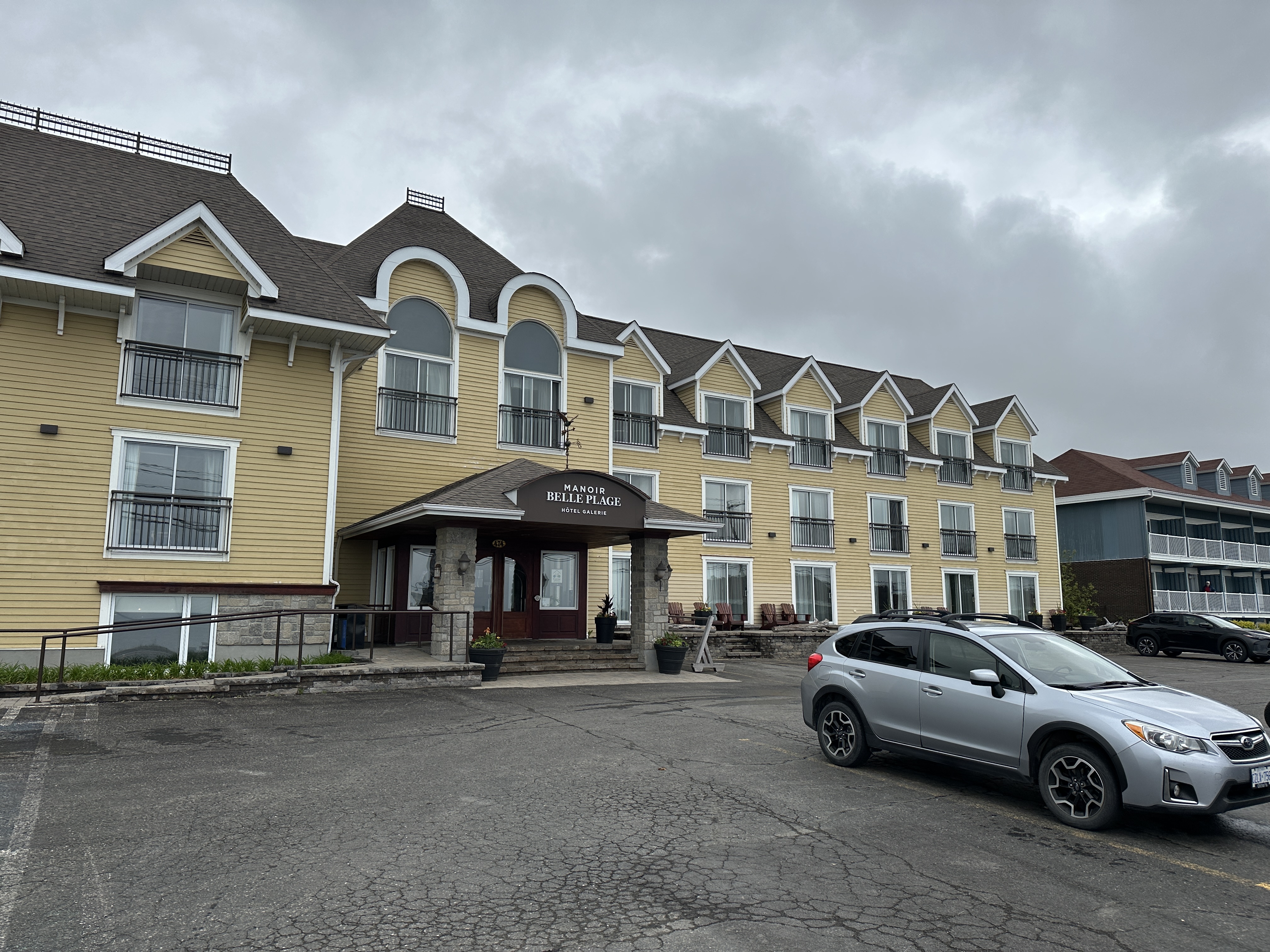
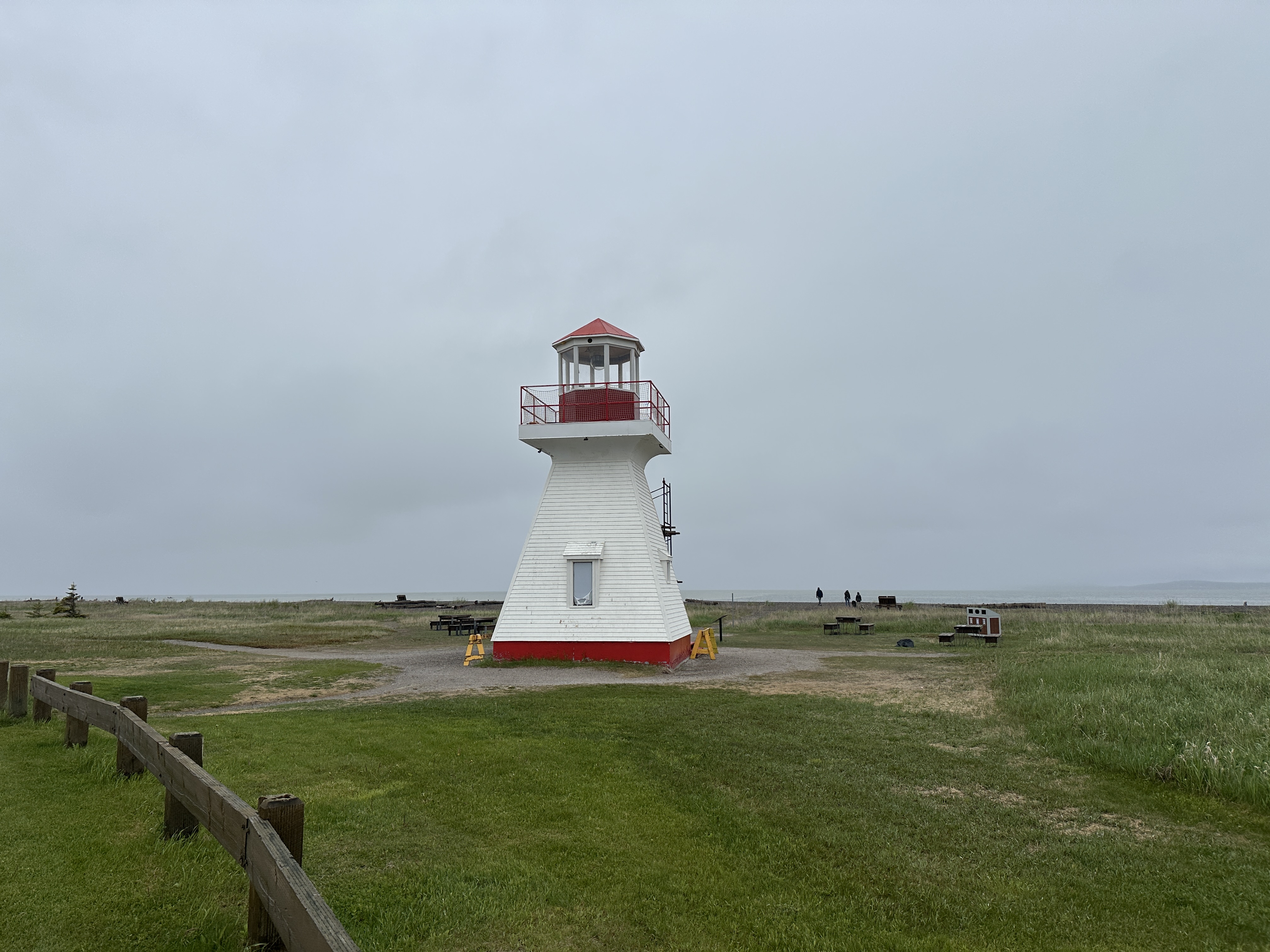
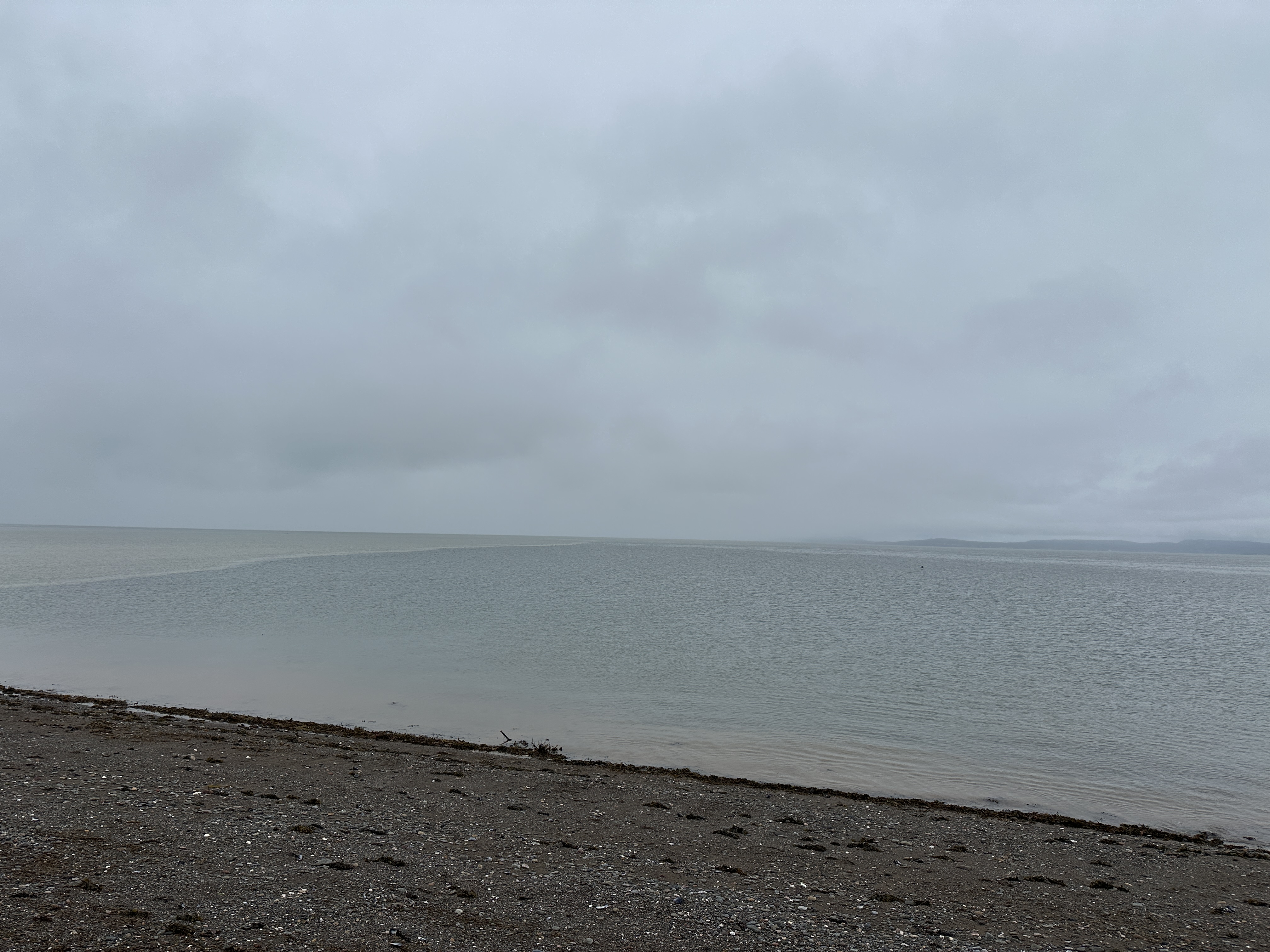
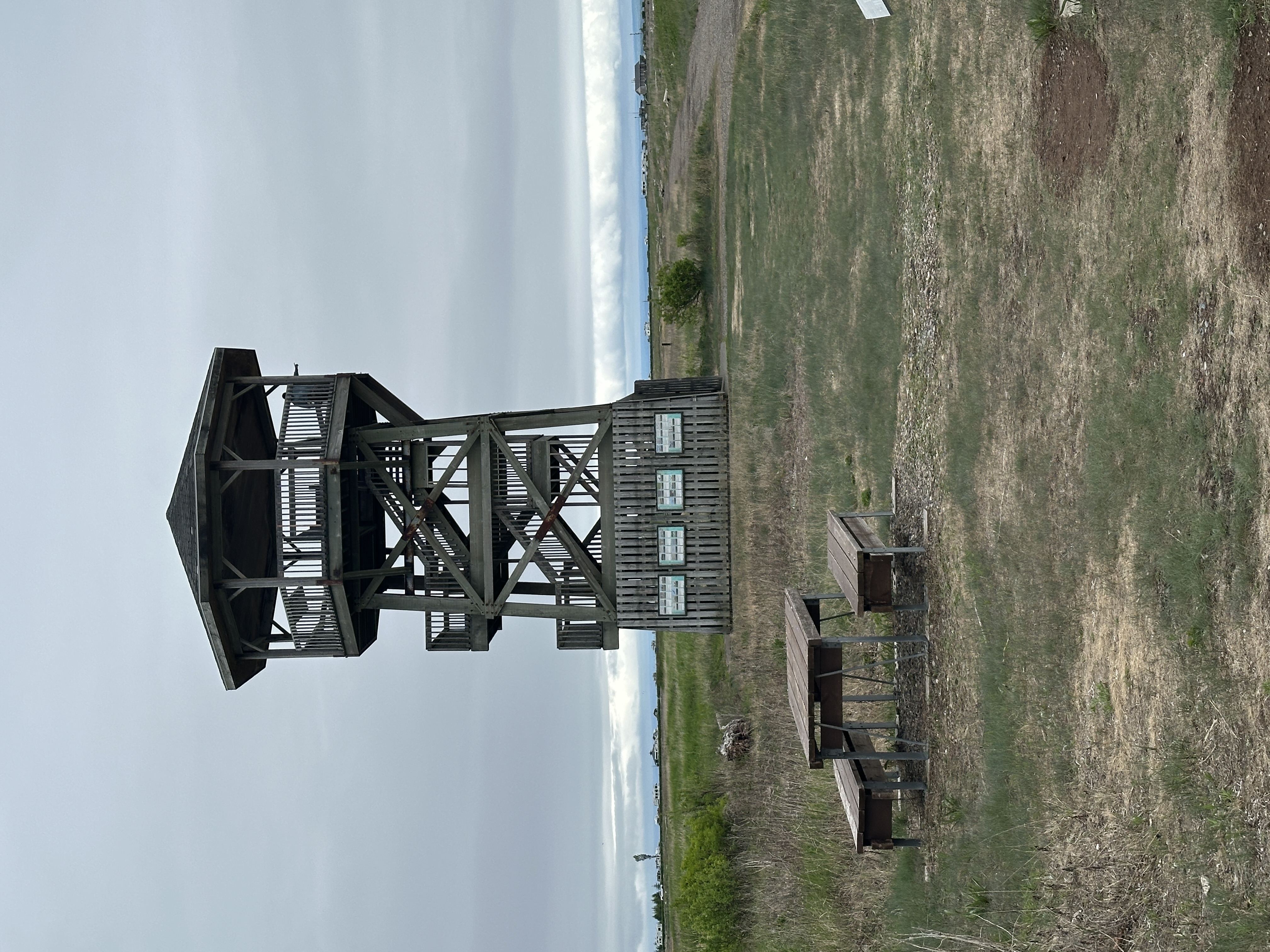
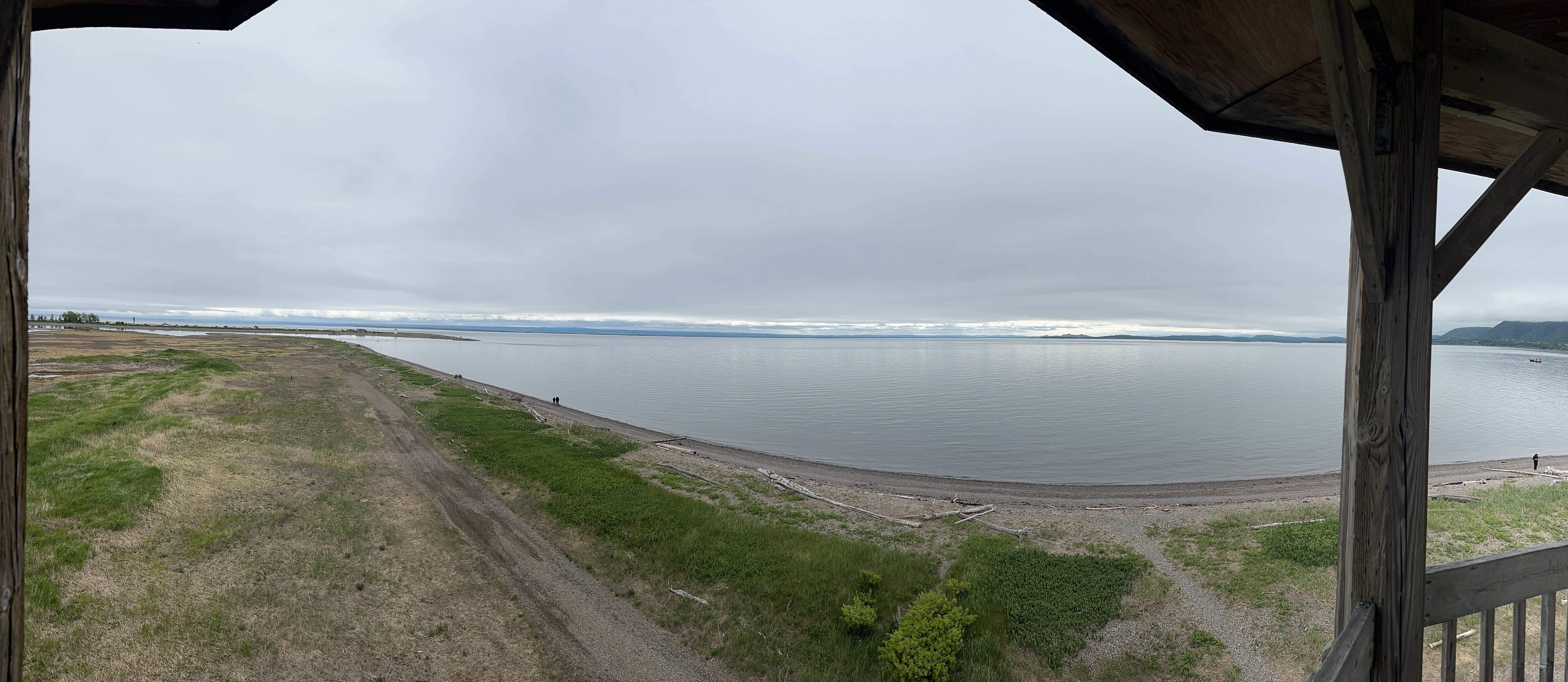
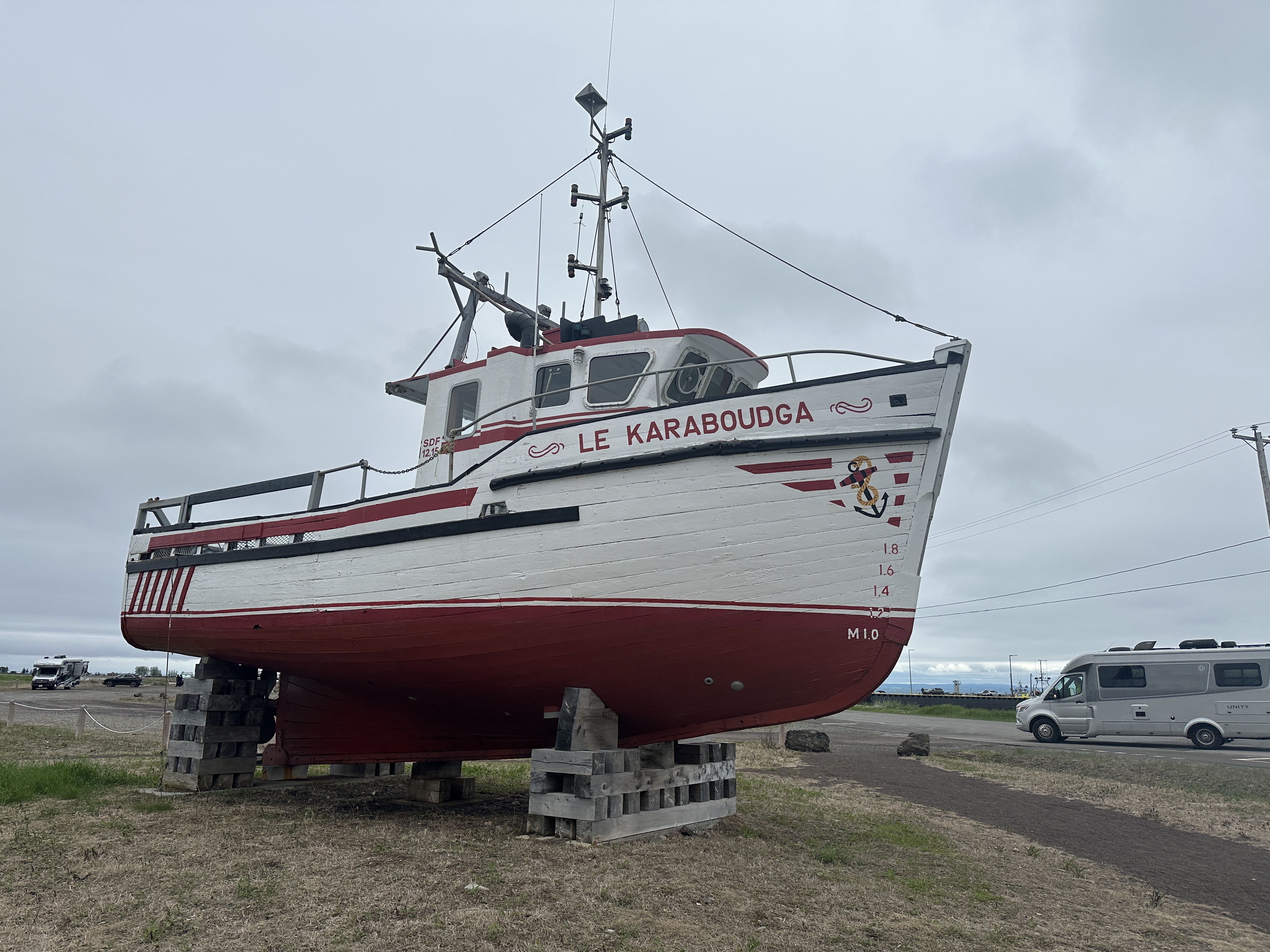
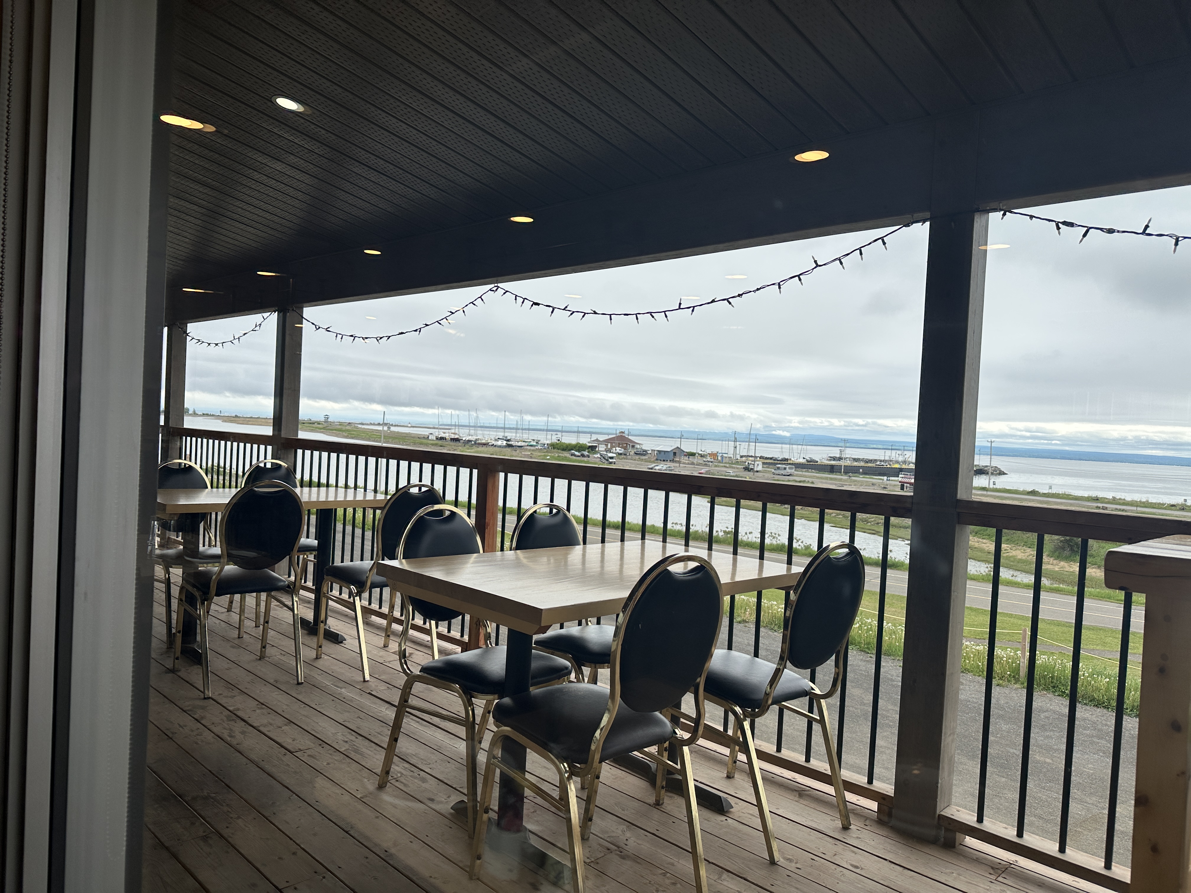
Decided to stay in Carleton-Sur-Mer at the Manoir Belle Plage for 2 nights. Nice hotel and really good free breakfast. Spent the day walking around.
Weather: Rain overnight and during the morning. Overcast with sun later in the day. High of 22C.
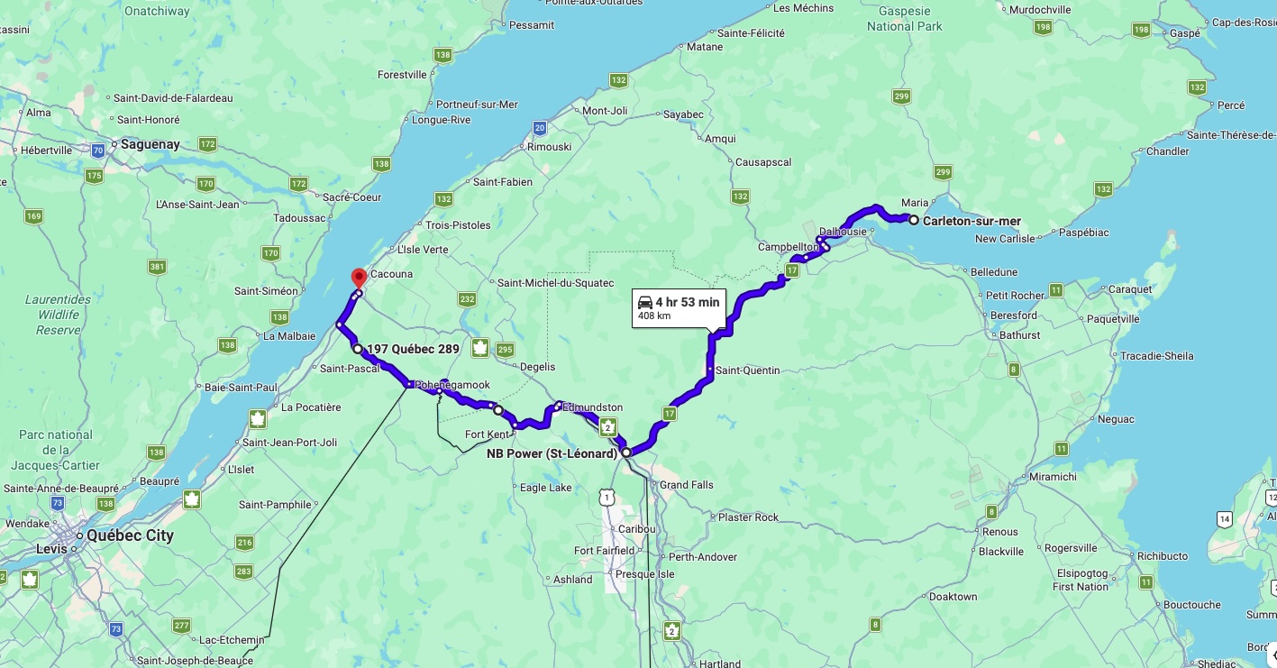
Day 7 Carleton-Sur-Mer to Riviere-Du-Loup via hwy 17 in New Brunswick to Edmundston. Hwy 120 in NB to hwy 280 in QC. More scenic than hwy 2.
Weather: Rain overnight. Rain stopped in the morning. But radar showed rain later in the morning. Put on rain gear and got rain on hwy 17 for an hour or so. Rain stopped for rest of day. High of 20C.
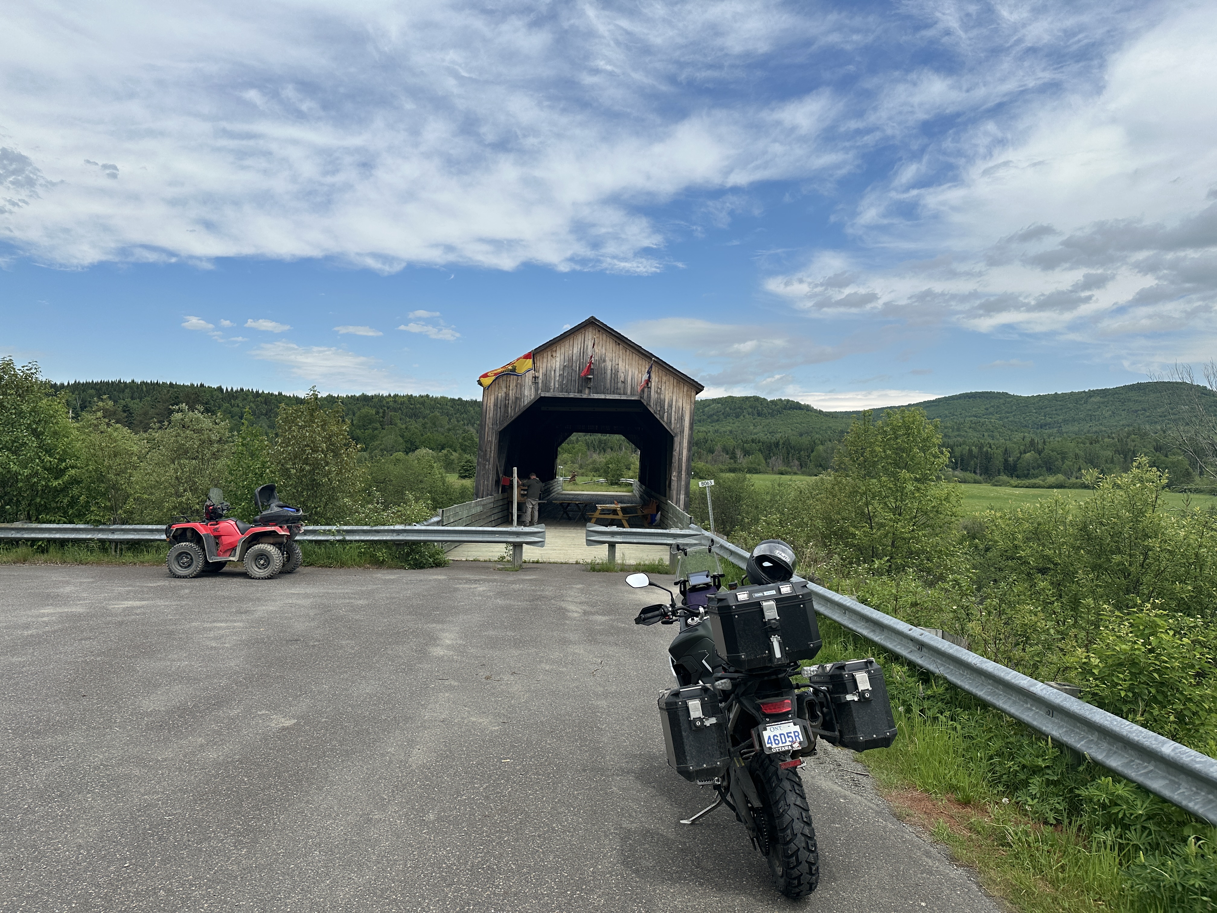
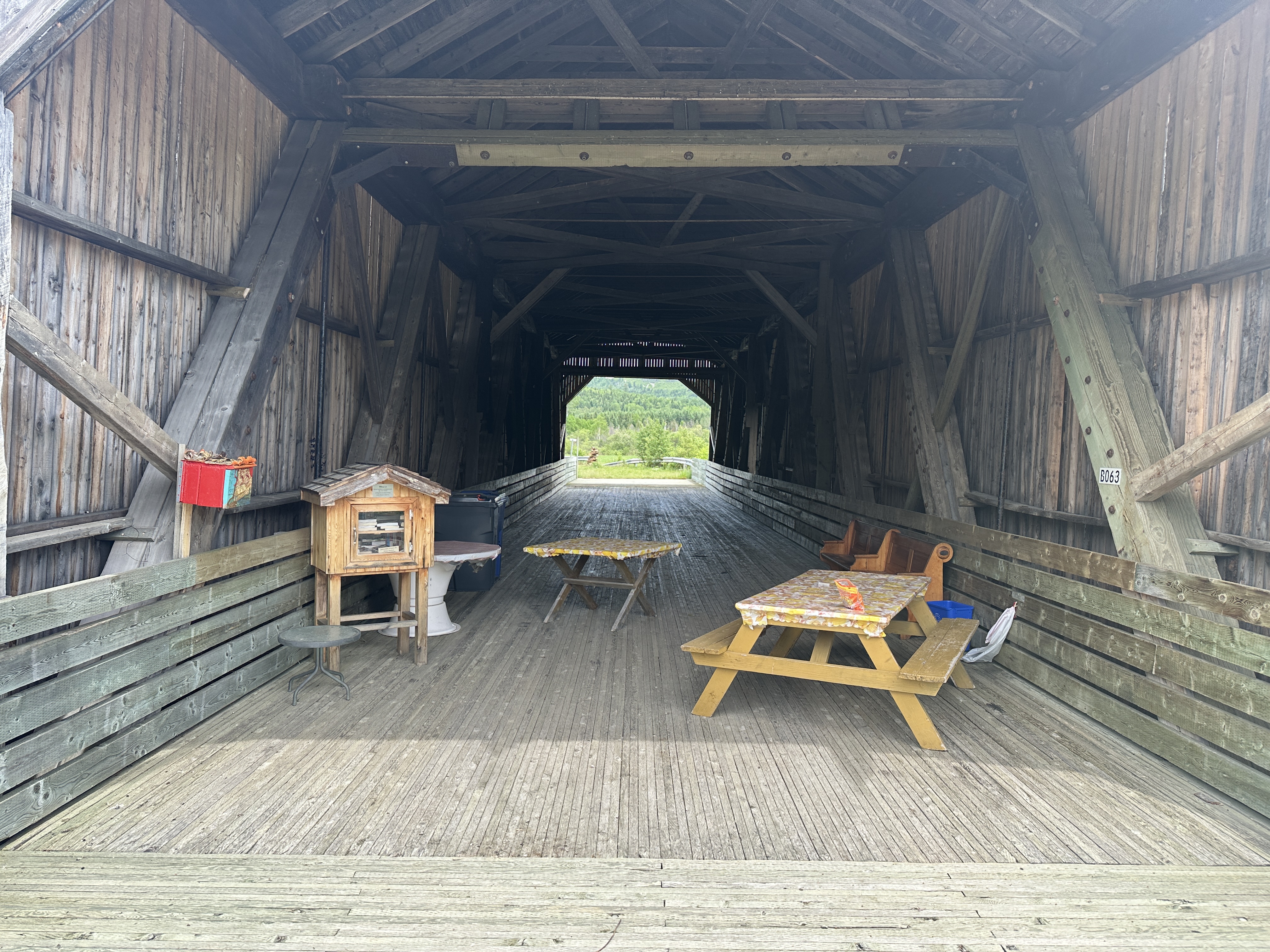
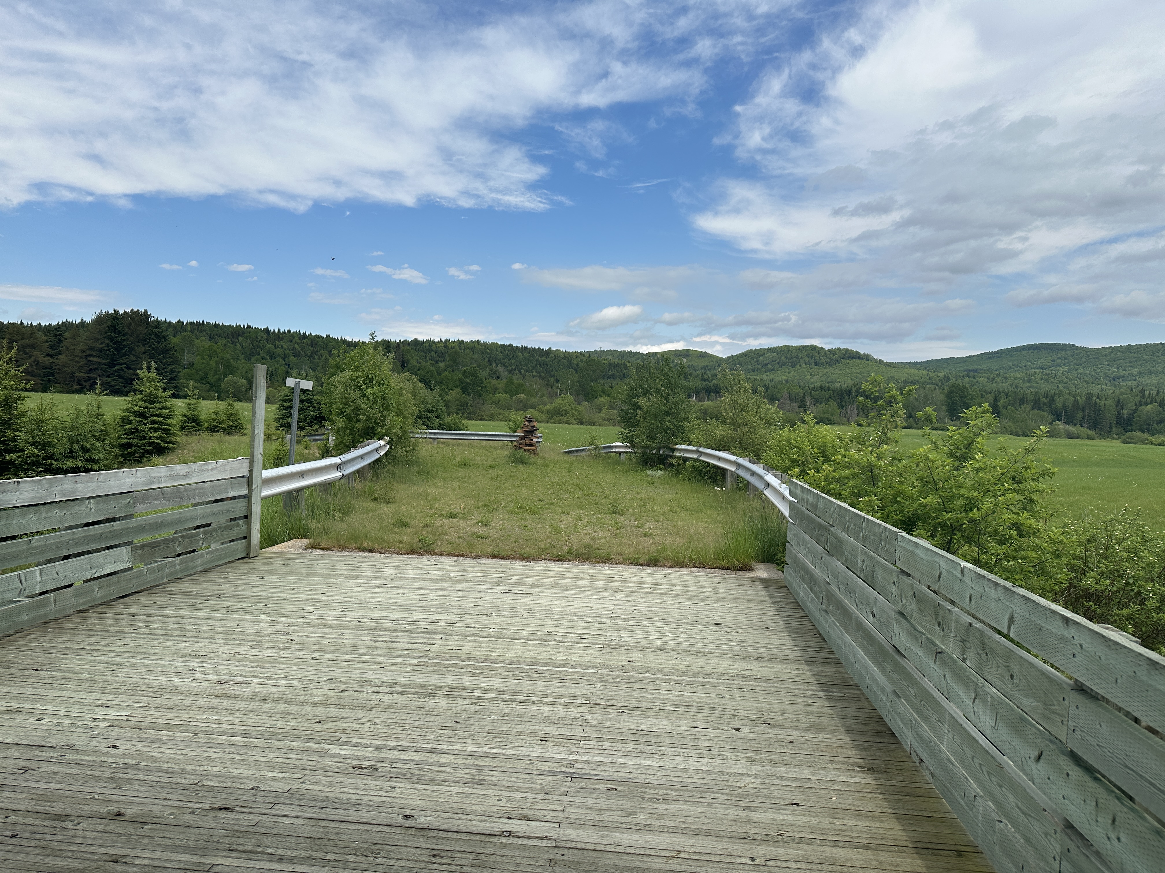
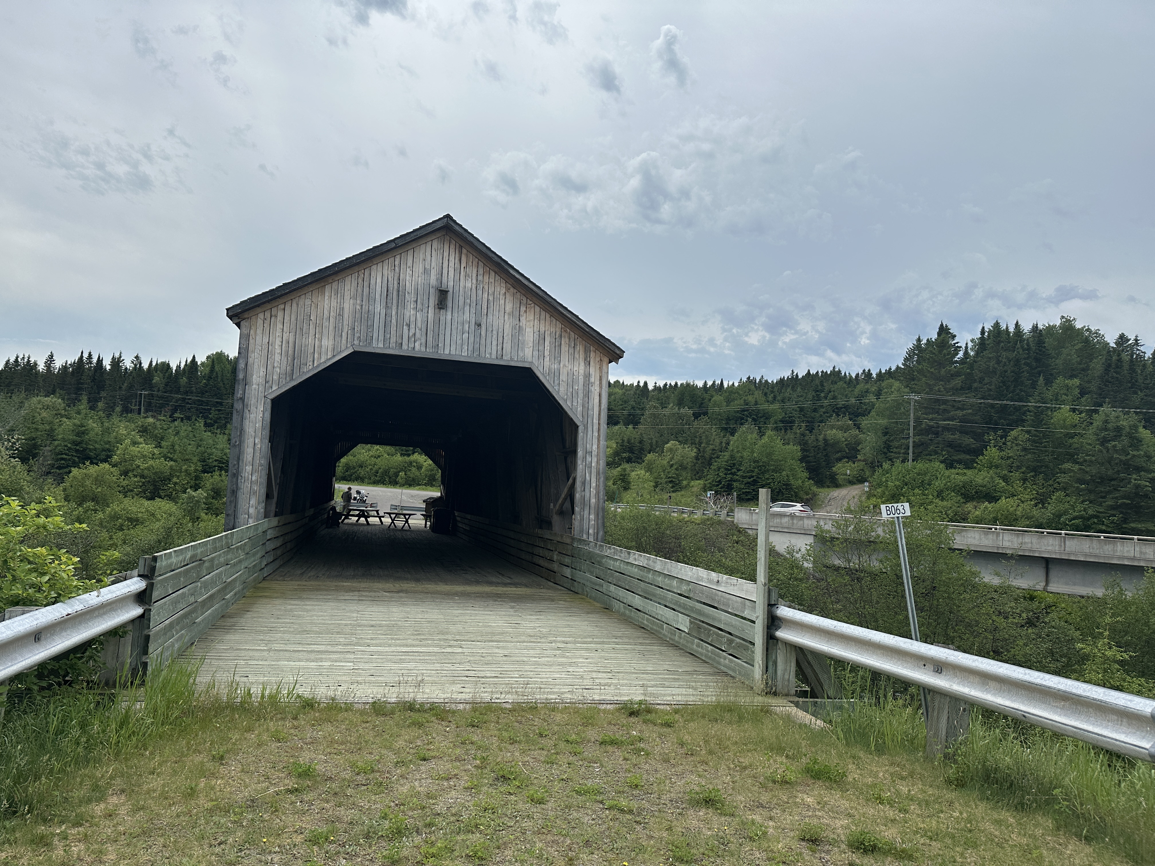
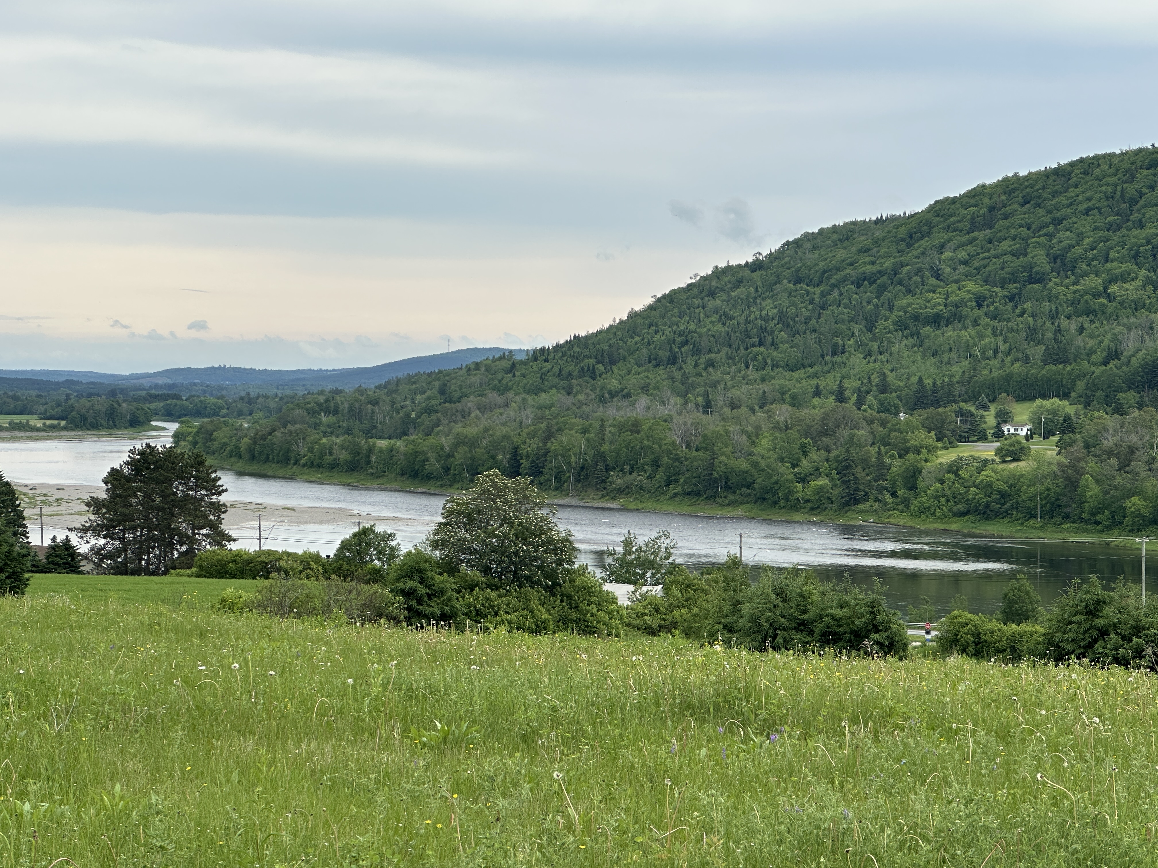
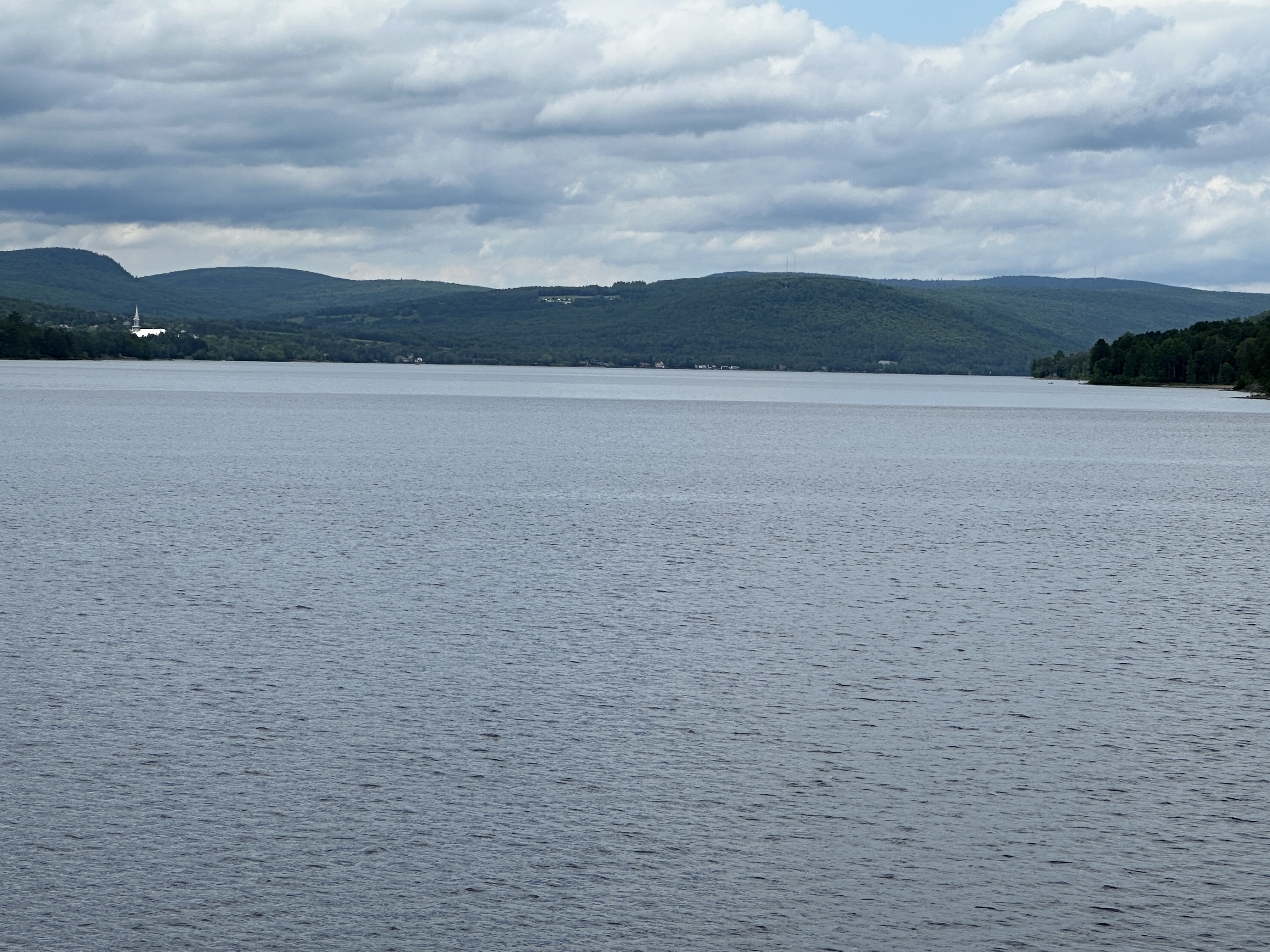
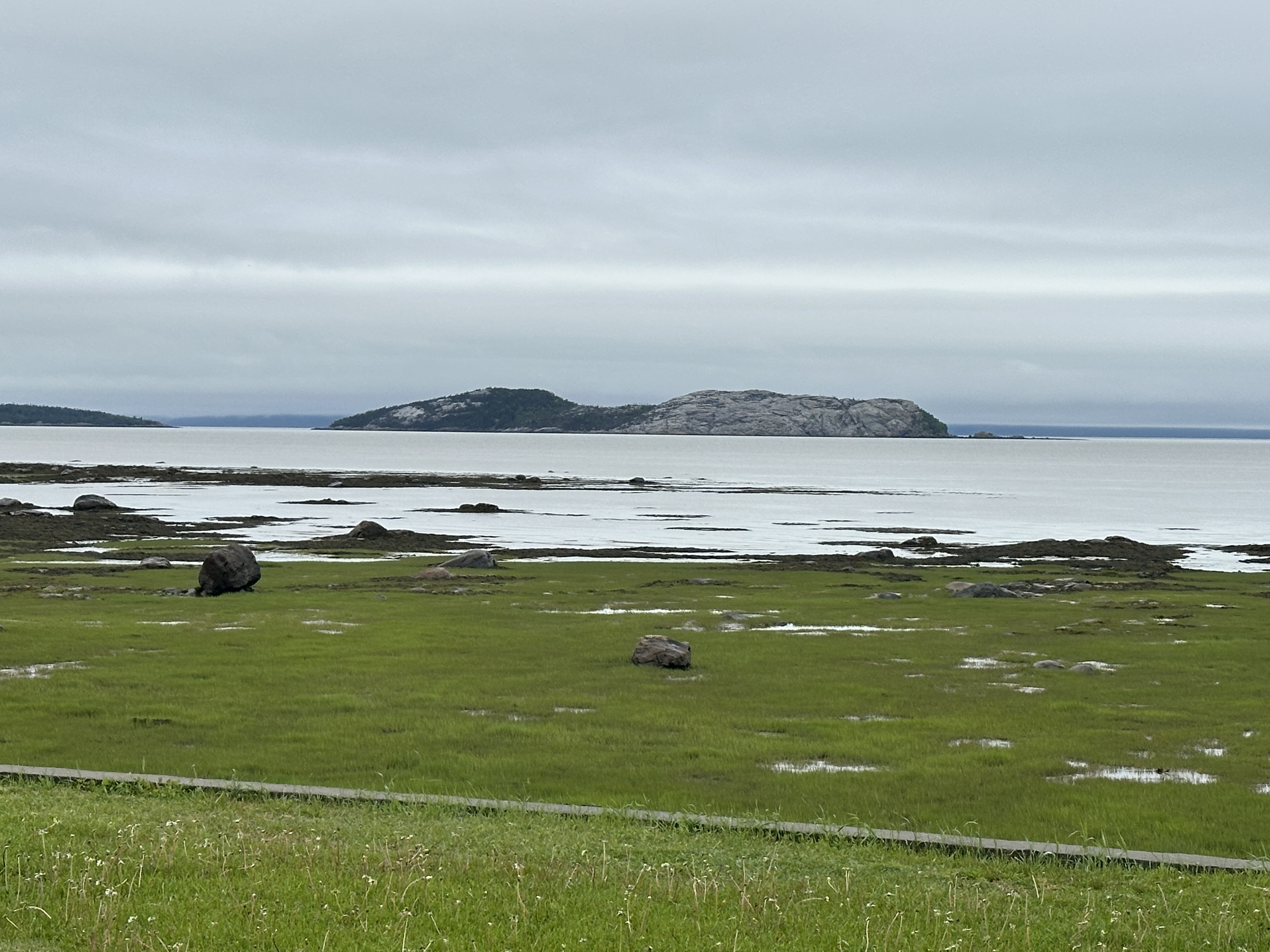
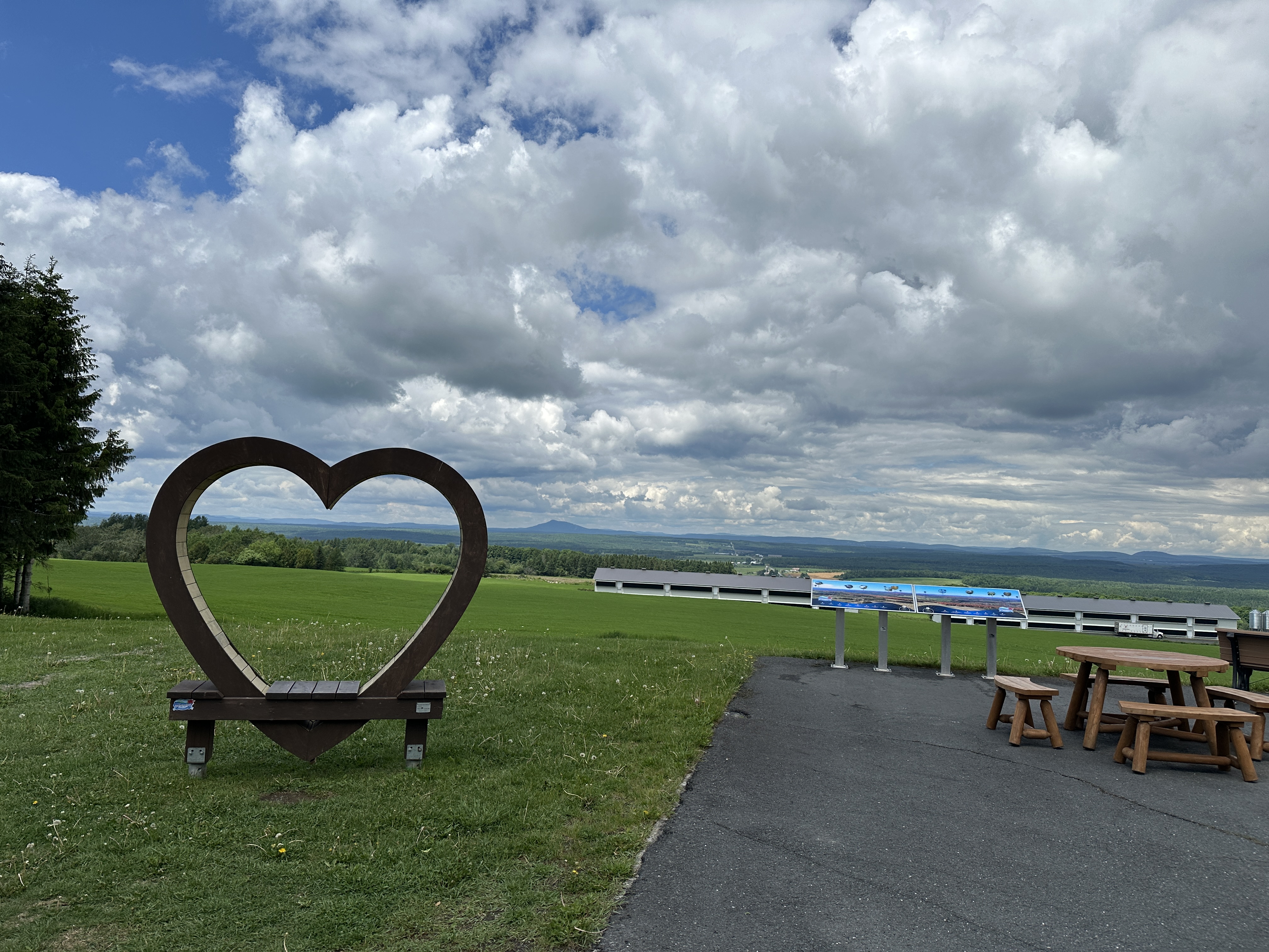
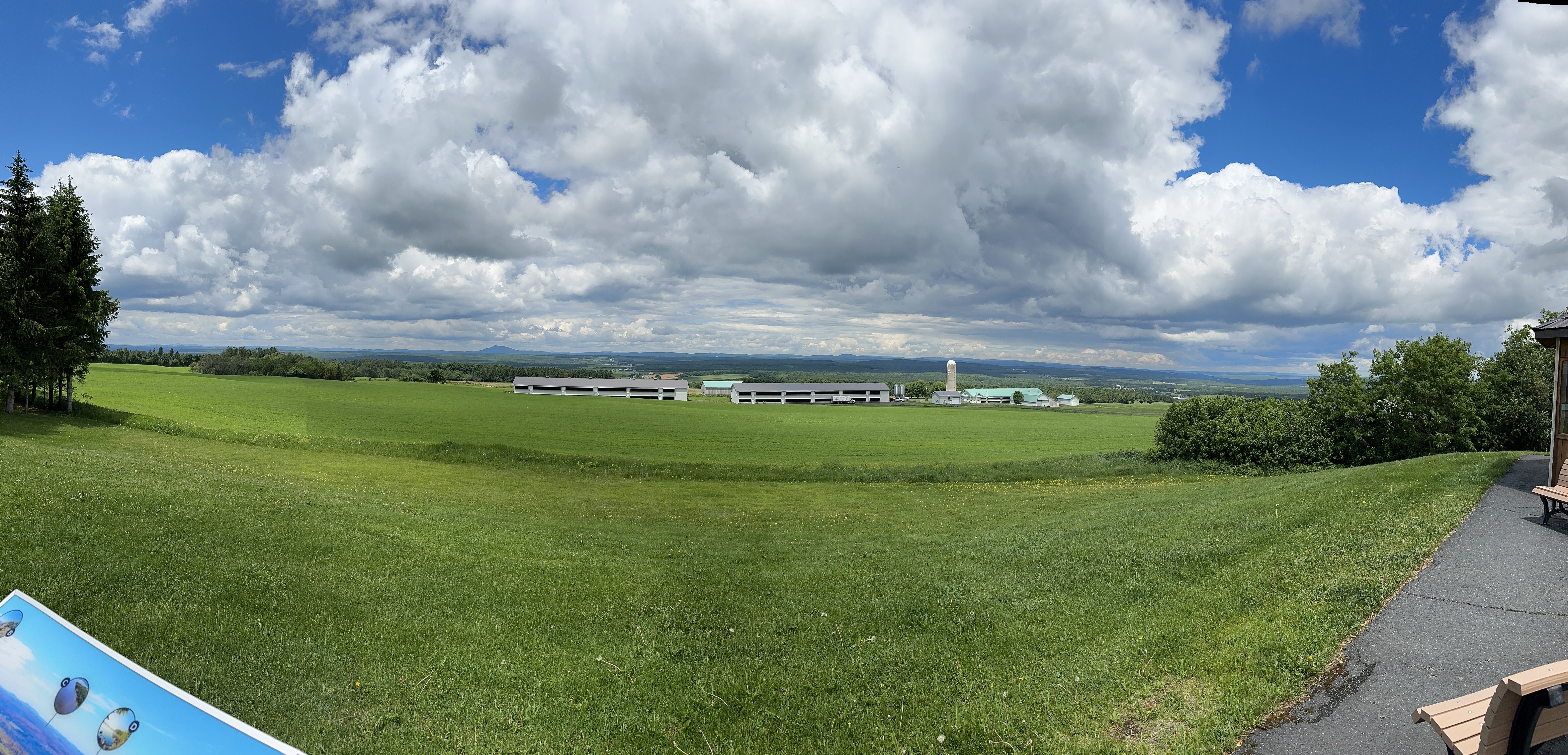
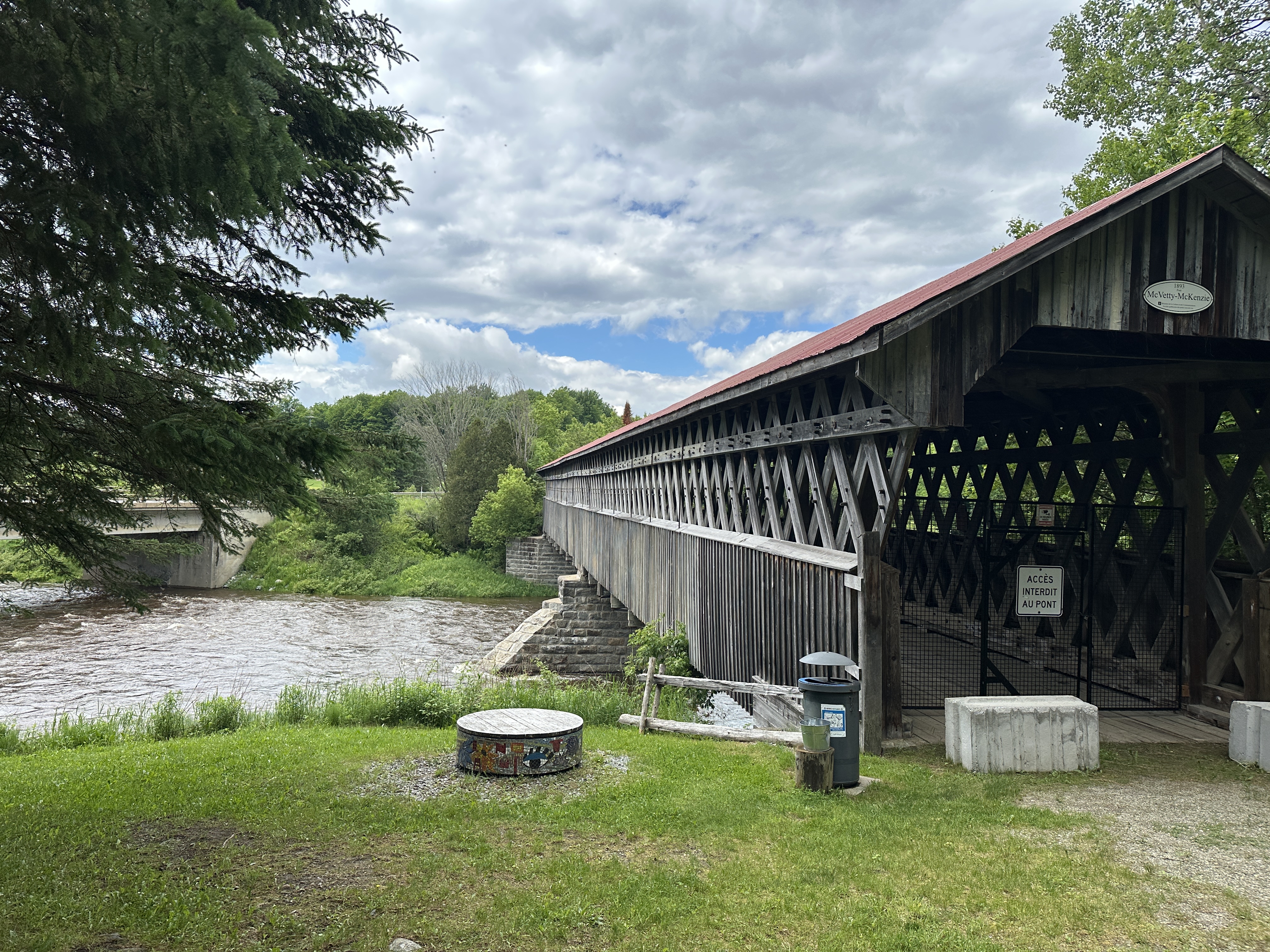
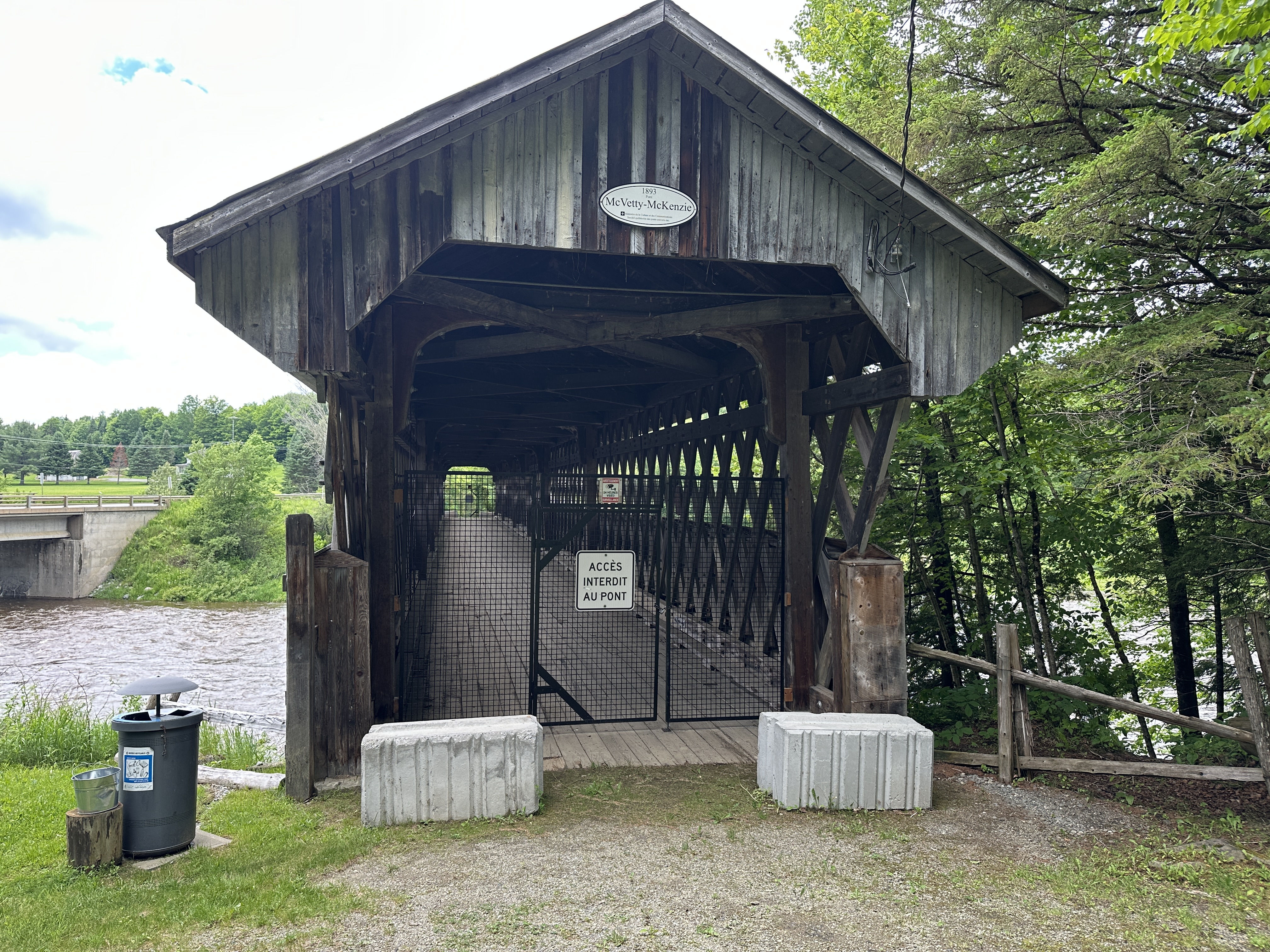
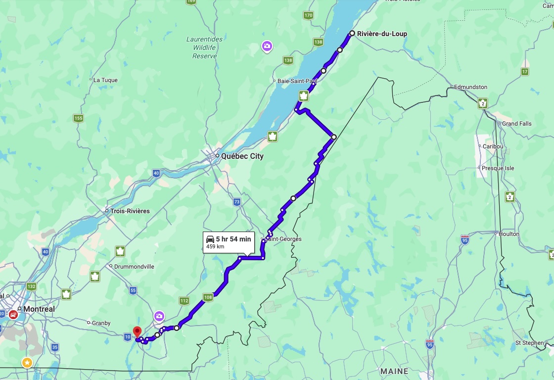
Day 8 Riviere-Du-Loup to Magog. Started on hwy 132 along the St Lawrence river. Then headed along a number of backroads and made my way to Magog.
Weather: Rain overnight but only light rain by 8AM. Rain stopped and sunny by the afternoon. High of 25C.

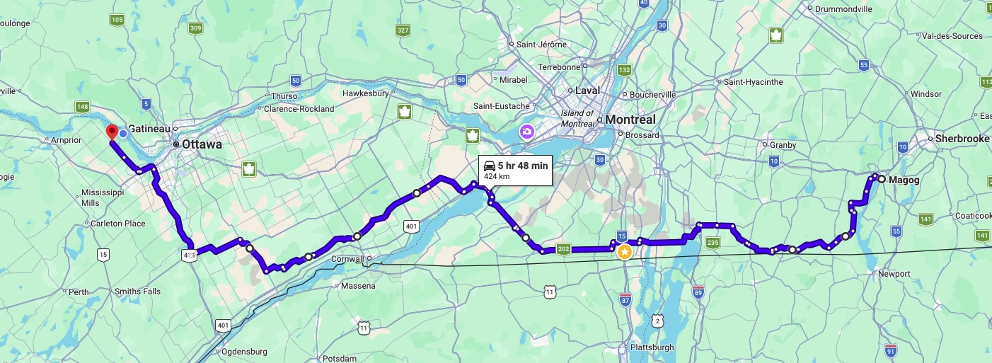
Day 9 Magog to Dunrobin. Rode along backroads as much as possible to avoid traffic
Weather: Sunny. High of 25C.